File:IsleOfMan.png
Jump to navigation
Jump to search


No higher resolution available.
IsleOfMan.png (416 × 496 pixels, file size: 88 KB, MIME type: image/png)
View this area on the interactive map
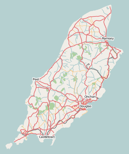
Map of Isle of Man
This map and others like it, were created by OpenStreetmap contributors, and are licensed as Creative Commons CC-BY-SA 2.0 (https://creativecommons.org/licenses/by-sa/2.0/) (see OpenStreetMap licence).
Use {{mapof|PlaceName}} to add this template to your images.
This map and others like it, were created by OpenStreetmap contributors, and are licensed as Creative Commons CC-BY-SA 2.0 (https://creativecommons.org/licenses/by-sa/2.0/) (see OpenStreetMap licence).
Use {{mapof|PlaceName}} to add this template to your images.
This is a Featured image, which means that it has been identified as one of the best examples of OpenStreetMap mapping, or that it provides a useful illustration of the OpenStreetMap project. If you know another image of similar quality, you can nominate it on Featured image proposals.
Front-page image on 23 Jun 2007
Licensing
![]()
Contains map data © OpenStreetMap contributors, made available under the terms of the Creative Commons Attribution-ShareAlike 2.0 (CC-BY-SA-2.0).
File history
Click on a date/time to view the file as it appeared at that time.
| Date/Time | Thumbnail | Dimensions | User | Comment | |
|---|---|---|---|---|---|
| current | 01:37, 4 June 2007 | | 416 × 496 (88 KB) | Dankarran (talk | contribs) | {{mapof|Isle of Man}} Category:Isle of Man |
| 08:15, 15 August 2006 | 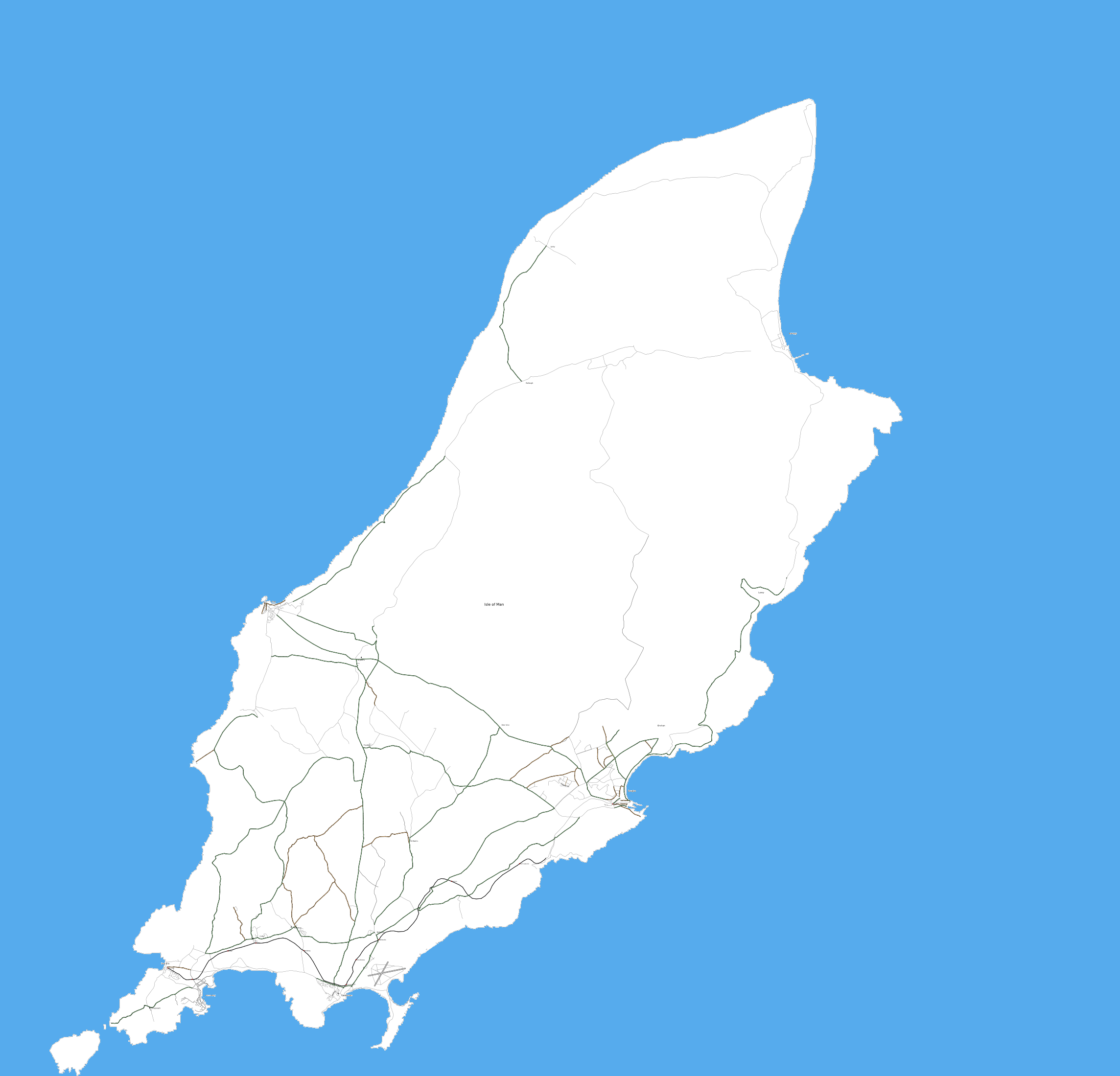 | 2,288 × 2,199 (310 KB) | Ojw (talk | contribs) | {{mapof|Isle of Man}} |
You cannot overwrite this file.
File usage
The following 2 files are duplicates of this file (more details):
- File:Isle of Man.png
- File:Isle of Man map of roads.png from Wikimedia Commons
The following 5 pages use this file: