File:Isle of Man.png
Jump to navigation
Jump to search

No higher resolution available.
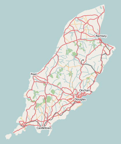
Isle_of_Man.png (416 × 496 pixels, file size: 88 KB, MIME type: image/png)
Latest snapshot of the Isle of Man from Metacarta Labs
Licensing
![]()
Contains map data © OpenStreetMap contributors, made available under the terms of the Creative Commons Attribution-ShareAlike 2.0 (CC-BY-SA-2.0).
![]()
A mostly identical image exists on Wikimedia Commons:  File:Isle of Man map of roads.png
The version on Wikimedia Commons is of higher quality and/or contains additional metadata (or better-formatted metadata). You can use images from Wikimedia Commons directly in the OpenStreetMap wiki, and it is recommended to use it instead of this image.
This template puts files in Category:Image superseded by Wikimedia Commons.

The version on Wikimedia Commons is of higher quality and/or contains additional metadata (or better-formatted metadata). You can use images from Wikimedia Commons directly in the OpenStreetMap wiki, and it is recommended to use it instead of this image.
If this file has the same name as Wikimedia Commons file and shadows it: add also {{Delete|Superseded by Commons file with the same name}}
{{Delete|Superseded by Commons file [[:c:File:Isle of Man map of roads.png]]}}This template puts files in Category:Image superseded by Wikimedia Commons.
File history
Click on a date/time to view the file as it appeared at that time.
| Date/Time | Thumbnail | Dimensions | User | Comment | |
|---|---|---|---|---|---|
| current | 01:45, 4 June 2007 | | 416 × 496 (88 KB) | Dankarran (talk | contribs) | {{mapof|Isle of Man}} Category:Isle of Man |
| 16:39, 6 May 2007 | 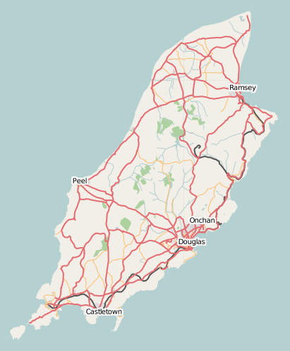 | 411 × 496 (82 KB) | Dankarran (talk | contribs) | Latest snapshot of the Isle of Man from Metacarta Labs |
You cannot overwrite this file.
File usage
The following 2 files are duplicates of this file (more details):
- File:IsleOfMan.png
- File:Isle of Man map of roads.png from Wikimedia Commons
The following page uses this file: