File:Itinéraire Bis.png
Jump to navigation
Jump to search

No higher resolution available.
Itinéraire_Bis.png (605 × 369 pixels, file size: 484 KB, MIME type: image/png)
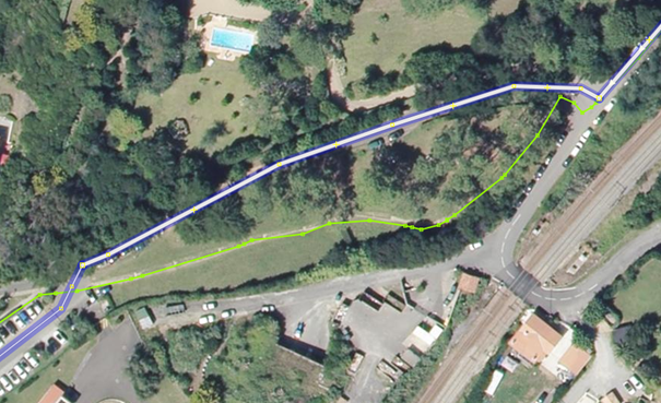
Image JOSM, présentant deux tracés d'itinéraires cyclables différents
File history
Click on a date/time to view the file as it appeared at that time.
| Date/Time | Thumbnail | Dimensions | User | Comment | |
|---|---|---|---|---|---|
| current | 09:46, 29 May 2018 | | 605 × 369 (484 KB) | Départements & Régions Cyclables (talk | contribs) |
You cannot overwrite this file.
File usage
The following page uses this file: