File:JAXA-ALOS Haiti coverage.png
Jump to navigation
Jump to search

No higher resolution available.
JAXA-ALOS_Haiti_coverage.png (774 × 370 pixels, file size: 105 KB, MIME type: image/png)
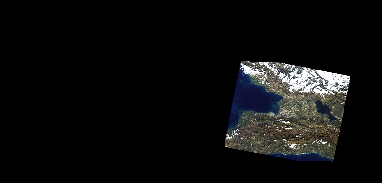
Screenshot of JOSM with JAXA/ALOS imagery loaded at 14km resolution, used for coverage illustration purposes.
File history
Click on a date/time to view the file as it appeared at that time.
| Date/Time | Thumbnail | Dimensions | User | Comment | |
|---|---|---|---|---|---|
| current | 13:39, 18 January 2010 | | 774 × 370 (105 KB) | Ceyockey (talk | contribs) | Screenshot of JOSM with JAXA/ALOS imagery loaded at 14km resolution, used for coverage illustration purposes. |
You cannot overwrite this file.
File usage
The following page uses this file: