File:Jamie Bell 2012 Playground Castle 1.jpg
Jump to navigation
Jump to search


Size of this preview: 800 × 533 pixels. Other resolutions: 320 × 213 pixels | 640 × 427 pixels | 1,024 × 683 pixels | 1,280 × 853 pixels | 2,592 × 1,728 pixels.
Original file (2,592 × 1,728 pixels, file size: 1.42 MB, MIME type: image/jpeg)
This file and its description are from Wikimedia Commons.
Summary
| Description |
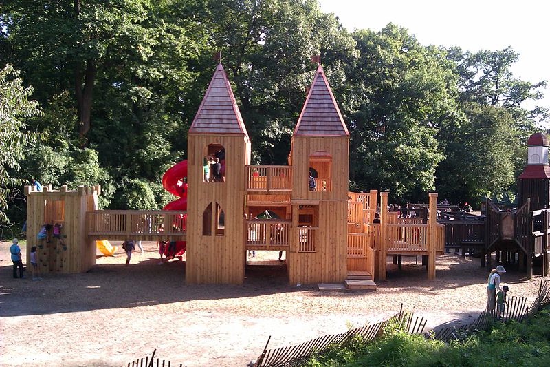
English: This is a view of the 2012 castle built at the Jamie Bell Adventure Playground in High Park, in Toronto, Ontario, Canada. Looking from the north-west. |
| Date | Taken on 19 August 2012 |
| Source | Own work |
| Author | Alex Laney |
| Camera location | | View this and other nearby images on: OpenStreetMap |
|---|
Licensing
I, the copyright holder of this work, hereby publish it under the following license:
This file is licensed under the Creative Commons Attribution-Share Alike 3.0 Unported license.
- You are free:
- to share – to copy, distribute and transmit the work
- to remix – to adapt the work
- Under the following conditions:
- attribution – You must give appropriate credit, provide a link to the license, and indicate if changes were made. You may do so in any reasonable manner, but not in any way that suggests the licensor endorses you or your use.
- share alike – If you remix, transform, or build upon the material, you must distribute your contributions under the same or compatible license as the original.
File history
Click on a date/time to view the file as it appeared at that time.
| Date/Time | Thumbnail | Dimensions | User | Comment | |
|---|---|---|---|---|---|
| current | 18:01, 21 August 2012 | | 2,592 × 1,728 (1.42 MB) | wikimediacommons>Alaney2k |
File usage
The following 9 pages use this file: