File:JharrisMapArea.png
Jump to navigation
Jump to search


Size of this preview: 413 × 599 pixels. Other resolutions: 165 × 240 pixels | 567 × 823 pixels.
Original file (567 × 823 pixels, file size: 538 KB, MIME type: image/png)
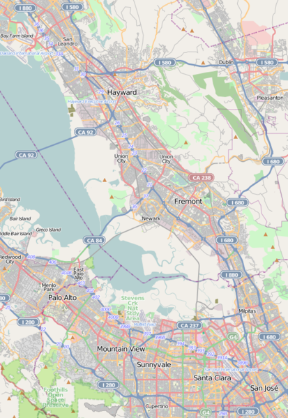
A map of the area that Jeff Harris frequents and updates a couple of times a week.
Licensing
![]()
![]()
![]()
This screenshot contains OpenStreetMap Carto rendering.
The OpenStreetMap Carto map style is made available under the Creative Commons CC-0 1.0 Universal Public Domain Dedication.
- Attribution to the map data:
![]()
Contains map data © OpenStreetMap contributors, made available under the terms of the Creative Commons Attribution-ShareAlike 2.0 (CC-BY-SA-2.0).
File history
Click on a date/time to view the file as it appeared at that time.
| Date/Time | Thumbnail | Dimensions | User | Comment | |
|---|---|---|---|---|---|
| current | 19:47, 3 November 2010 | | 567 × 823 (538 KB) | Tahongawaka (talk | contribs) | Updated image. Scale 1:280000 |
| 16:35, 26 October 2010 | 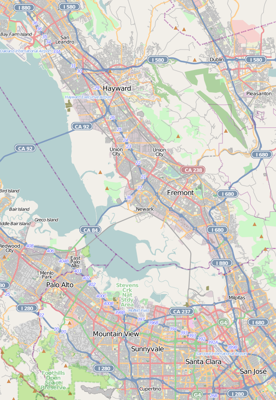 | 567 × 823 (538 KB) | Tahongawaka (talk | contribs) | A map of the area that Jeff Harris frequents and updates a couple of times a week. |
You cannot overwrite this file.
File usage
The following page uses this file: