File:KT13 Area.5.png
Jump to navigation
Jump to search
Size of this preview: 690 × 600 pixels. Other resolutions: 276 × 240 pixels | 552 × 480 pixels | 901 × 783 pixels.
Original file (901 × 783 pixels, file size: 483 KB, MIME type: image/png)
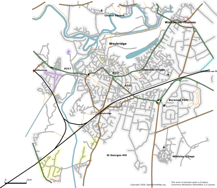
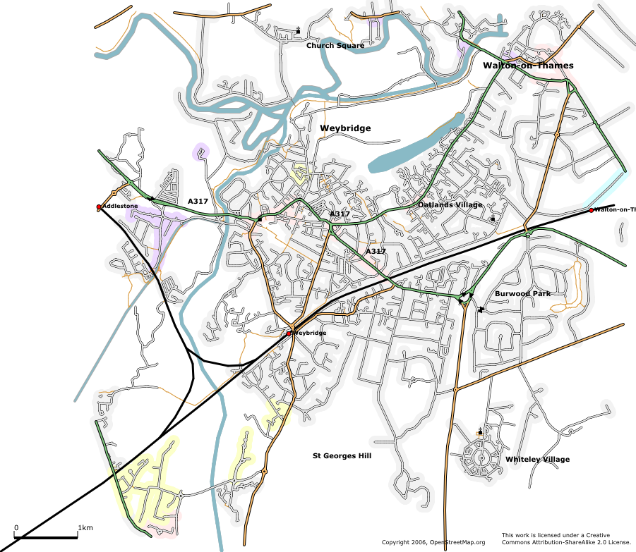
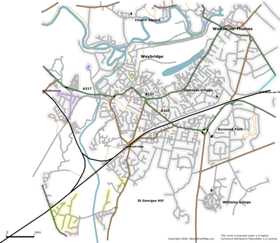
The Weybridge area rendered using Osmarender as at 10 April 2006. About 90% complete. New features include Broad Water lake, one-way streets, churches, railway stations and a lot more streets.
![]()
Contains map data © OpenStreetMap contributors, made available under the terms of the Creative Commons Attribution-ShareAlike 2.0 (CC-BY-SA-2.0).
File history
Click on a date/time to view the file as it appeared at that time.
| Date/Time | Thumbnail | Dimensions | User | Comment | |
|---|---|---|---|---|---|
| current | 20:54, 10 April 2006 | | 901 × 783 (483 KB) | 80n (talk | contribs) | The Weybridge area rendered using Osmarender as at 10 April 2006. About 90% complete. New features include Broad Water lake, one-way streets, churches, railway stations and a lot more streets. |
You cannot overwrite this file.
File usage
The following page uses this file: