File:K 2017 Brüderweg OSM.jpg
Jump to navigation
Jump to search

Size of this preview: 800 × 450 pixels. Other resolutions: 320 × 180 pixels | 640 × 360 pixels | 1,024 × 576 pixels | 1,600 × 900 pixels.
Original file (1,600 × 900 pixels, file size: 141 KB, MIME type: image/jpeg)
Summary
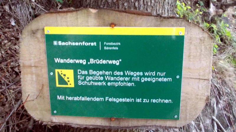
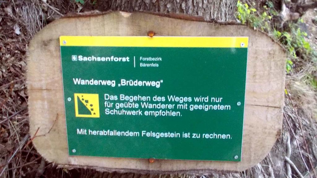
2017 Wanderweg "Brüderweg" Ausschilderung Freital-Tharandt
Licensing
- This media file was uploaded by author of the work and its copyright holder.
![]()
![]()
This file is made available under the Creative Commons CC0 1.0 Universal Public Domain Dedication.
The person who associated a work with this deed has dedicated the work to the public domain by waiving all of his or her rights to the work worldwide under copyright law, including all related and neighboring rights, to the extent allowed by law. You can copy, modify, distribute and perform the work, even for commercial purposes, all without asking permission.
File history
Click on a date/time to view the file as it appeared at that time.
| Date/Time | Thumbnail | Dimensions | User | Comment | |
|---|---|---|---|---|---|
| current | 06:14, 21 August 2017 | | 1,600 × 900 (141 KB) | Geri-oc (talk | contribs) | 2017 Wanderweg "Brüderweg" Ausschilderung Freital-Tharandt |
You cannot overwrite this file.
File usage
There are no pages that use this file.