File:Kamakura cake diagram.png
Jump to navigation
Jump to search

Size of this preview: 551 × 600 pixels. Other resolutions: 220 × 240 pixels | 441 × 480 pixels | 706 × 768 pixels | 1,176 × 1,280 pixels.
Original file (1,176 × 1,280 pixels, file size: 237 KB, MIME type: image/png)
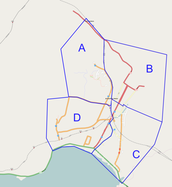
Kamakura City, Kanagawa Prefecture, Japan
from OSM data as of 2008-06-09 after the 1st Kamakura mapping party.
CC-CY-SA-2.0
Licensing
![]()
![]()
![]()
This screenshot contains OpenStreetMap Carto rendering.
The OpenStreetMap Carto map style is made available under the Creative Commons CC-0 1.0 Universal Public Domain Dedication.
- Attribution to the map data:
![]()
Contains map data © OpenStreetMap contributors, made available under the terms of the Creative Commons Attribution-ShareAlike 2.0 (CC-BY-SA-2.0).
File history
Click on a date/time to view the file as it appeared at that time.
| Date/Time | Thumbnail | Dimensions | User | Comment | |
|---|---|---|---|---|---|
| current | 08:12, 9 June 2008 | | 1,176 × 1,280 (237 KB) | Tatata (talk | contribs) | Kamakura City, Kanagawa Prefecture, Japan from OSM data as of 2008-06-09 after the 1st Kamakura mapping party. CC-CY-SA-2.0 |
You cannot overwrite this file.
File usage
The following 3 pages use this file: