File:Kamitsukenu Haniwano-sato Park Bocho Yamamura monument.jpg
Jump to navigation
Jump to search


Size of this preview: 800 × 600 pixels. Other resolutions: 320 × 240 pixels | 640 × 480 pixels | 1,024 × 768 pixels | 1,280 × 960 pixels | 2,560 × 1,920 pixels | 4,320 × 3,240 pixels.
Original file (4,320 × 3,240 pixels, file size: 1.88 MB, MIME type: image/jpeg)
This file and its description are from Wikimedia Commons.
Summary
| Description |
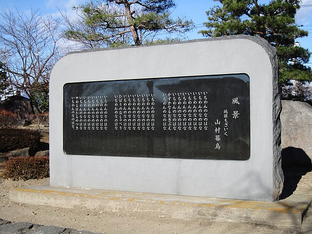
English: Kamitsukenu Haniwano-sato Park Bochō Yamamura monument.
|
| Date | |
| Source |
Own work
|
| Author |
photo: Qurren (talk) Taken with Canon IXY 10S (Digital IXUS 210) |
| Camera location | | View this and other nearby images on: OpenStreetMap |
|---|
Licensing
Qurren, the copyright holder of this work, hereby publishes it under the following licenses:

|
Permission is granted to copy, distribute and/or modify this document under the terms of the GNU Free Documentation License, Version 1.2 or any later version published by the Free Software Foundation; with no Invariant Sections, no Front-Cover Texts, and no Back-Cover Texts. A copy of the license is included in the section entitled GNU Free Documentation License. |
This file is licensed under the Creative Commons Attribution-Share Alike 4.0 International, 3.0 Unported, 2.5 Generic, 2.0 Generic and 1.0 Generic license.
Attribution: Qurren
- You are free:
- to share – to copy, distribute and transmit the work
- to remix – to adapt the work
- Under the following conditions:
- attribution – You must give appropriate credit, provide a link to the license, and indicate if changes were made. You may do so in any reasonable manner, but not in any way that suggests the licensor endorses you or your use.
- share alike – If you remix, transform, or build upon the material, you must distribute your contributions under the same or compatible license as the original.
You may select the license of your choice.
File history
Click on a date/time to view the file as it appeared at that time.
| Date/Time | Thumbnail | Dimensions | User | Comment | |
|---|---|---|---|---|---|
| current | 10:34, 13 March 2019 | | 4,320 × 3,240 (1.88 MB) | wikimediacommons>Qurren | {{Information |Description={{en|1=Kamitsukenu Haniwano-sato Park en:Bochō Yamamura monument.}} {{ja|1=ja:上毛野はにわの里公園に建つja:山村暮鳥詩碑。}} |Source={{Own}} * 山村暮鳥「風景 純銀もざいく」(詩集『聖三稜玻璃』に収録[https://www.aozora.gr.jp/cards/000136/card731.html]) |Author=photo: ~~~{{Taken with|text=Taken with Canon IXY 10S (Digital IXUS 210)|toolcat=Canon Digital IXUS 210}} |Date=2013-12-14 |Permission= |other_versions= }} {{Location dec|36.382789|138.985313}} == {{int:license-header}} == {{Self|GFDL|cc-by... |
File usage
The following 6 pages use this file: