File:Kissing gate near Trillinghurst Farm - geograph.org.uk - 1512534.jpg
Jump to navigation
Jump to search


No higher resolution available.
Kissing_gate_near_Trillinghurst_Farm_-_geograph.org.uk_-_1512534.jpg (640 × 427 pixels, file size: 134 KB, MIME type: image/jpeg)
This file and its description are from Wikimedia Commons.
Summary
| Description |
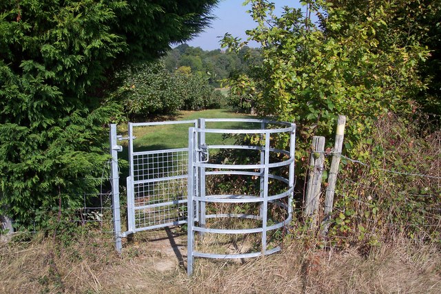
English: Kissing gate near Trillinghurst Farm A footpath leads past the farm, then through the gate and orchard towards Ranters Lane. Another path heads right along the hedge towards Bedgebury Road. |
| Date | |
| Source | From geograph.org.uk |
| Author | David Anstiss |
| Attribution (required by the license) | David Anstiss / Kissing gate near Trillinghurst Farm / |
| Camera location | | View this and other nearby images on: OpenStreetMap |
|---|
_heading:22.00&language=en)
| Object location | | View this and other nearby images on: OpenStreetMap |
|---|
_heading:22.00&language=en)
Licensing

|
This image was taken from the Geograph project collection. See this photograph's page on the Geograph website for the photographer's contact details. The copyright on this image is owned by David Anstiss and is licensed for reuse under the Creative Commons Attribution-ShareAlike 2.0 license.
|
This file is licensed under the Creative Commons Attribution-Share Alike 2.0 Generic license.
Attribution: David Anstiss
- You are free:
- to share – to copy, distribute and transmit the work
- to remix – to adapt the work
- Under the following conditions:
- attribution – You must give appropriate credit, provide a link to the license, and indicate if changes were made. You may do so in any reasonable manner, but not in any way that suggests the licensor endorses you or your use.
- share alike – If you remix, transform, or build upon the material, you must distribute your contributions under the same or compatible license as the original.
File history
Click on a date/time to view the file as it appeared at that time.
| Date/Time | Thumbnail | Dimensions | User | Comment | |
|---|---|---|---|---|---|
| current | 00:17, 3 March 2011 | | 640 × 427 (134 KB) | wikimediacommons>GeographBot | == {{int:filedesc}} == {{Information |description={{en|1=Kissing gate near Trillinghurst Farm A footpath leads past the farm, then through the gate and orchard towards Ranters Lane. Another path heads right along the hedge towards Bedgebury Road.}} |date= |
File usage
The following 2 pages use this file: