File:Kreisgrenzenproblem-56140-mol.png
Jump to navigation
Jump to search

No higher resolution available.
Kreisgrenzenproblem-56140-mol.png (660 × 594 pixels, file size: 100 KB, MIME type: image/png)
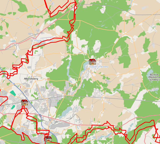
Die Grenzen der Relation 56140 widersprechen den Grenzen der angrenzenden Landkreise.
Licensing
![]()
Contains map data © OpenStreetMap contributors, made available under the terms of the Creative Commons Attribution-ShareAlike 2.0 (CC-BY-SA-2.0).
File history
Click on a date/time to view the file as it appeared at that time.
| Date/Time | Thumbnail | Dimensions | User | Comment | |
|---|---|---|---|---|---|
| current | 22:38, 20 February 2009 | | 660 × 594 (100 KB) | M0nty (talk | contribs) |
You cannot overwrite this file.
File usage
The following page uses this file: