File:Krivoy Rog mapping.gif
Jump to navigation
Jump to search


Size of this preview: 789 × 599 pixels. Other resolutions: 316 × 240 pixels | 632 × 480 pixels | 1,011 × 768 pixels | 1,061 × 806 pixels.
Original file (1,061 × 806 pixels, file size: 628 KB, MIME type: image/gif, looped, 5 frames, 15 s)
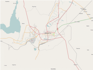
Мапинг г. Кривой Рог, Днепропетровская обл., Украина.
Licensing
![]()
![]()
This screenshot contains OpenStreetMap Carto rendering.
The OpenStreetMap Carto map style is made available under the Creative Commons CC-0 1.0 Universal Public Domain Dedication.
- Attribution to the map data:
| Contains map data © OpenStreetMap contributors, made available under the terms of the Open Database License (ODbL).
The ODbL does not require any particular license for maps produced from ODbL data, produced maps may be subject also to other licences. |
File history
Click on a date/time to view the file as it appeared at that time.
| Date/Time | Thumbnail | Dimensions | User | Comment | |
|---|---|---|---|---|---|
| current | 14:08, 31 January 2012 | | 1,061 × 806 (628 KB) | Lokki (talk | contribs) | Added new frame. |
| 13:45, 22 September 2011 |  | 1,061 × 806 (428 KB) | Lokki (talk | contribs) | Добавил новый кадр. | |
| 07:10, 27 July 2011 | 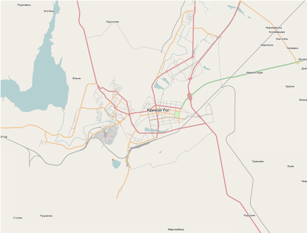 | 1,061 × 806 (332 KB) | Lokki (talk | contribs) | ||
| 07:07, 27 July 2011 |  | 1,061 × 806 (332 KB) | Lokki (talk | contribs) | Reverted to version as of 07:06, 27 July 2011 | |
| 07:07, 27 July 2011 | 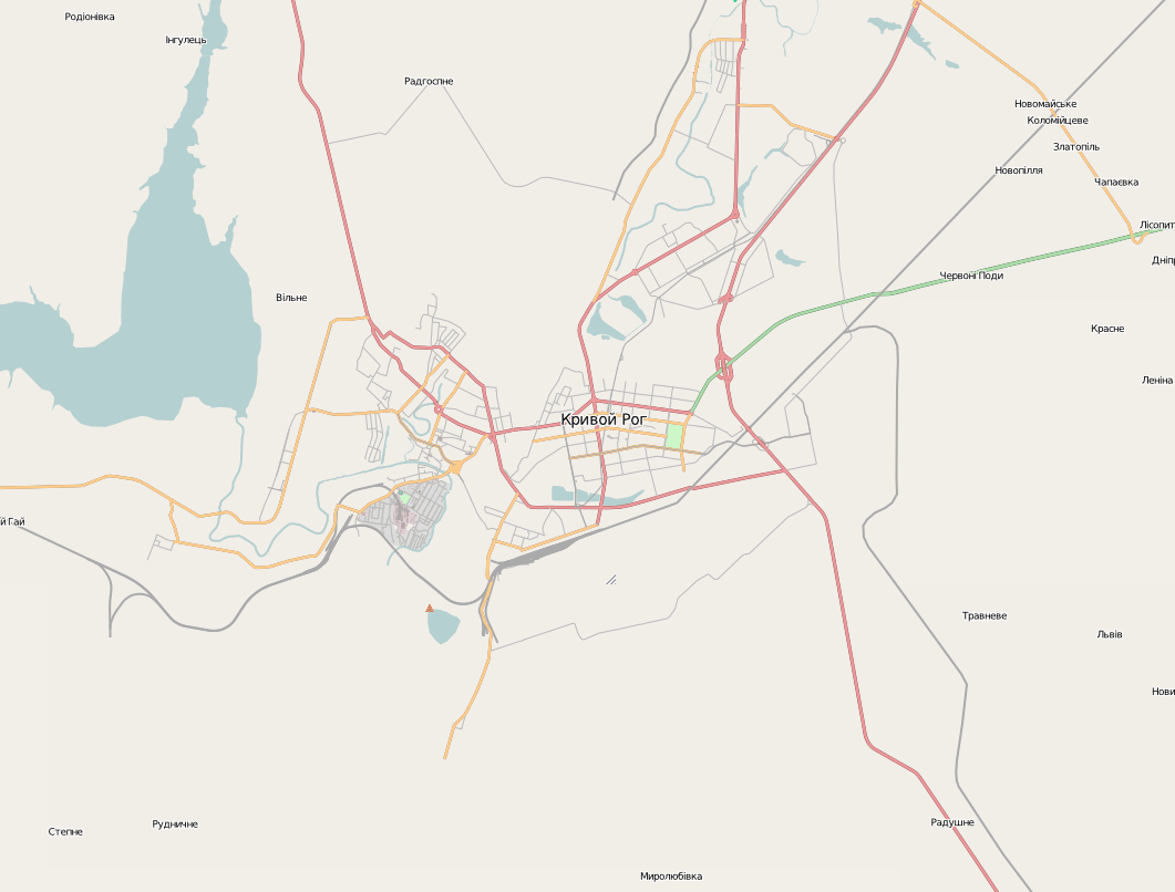 | 1,061 × 806 (268 KB) | Lokki (talk | contribs) | Reverted to version as of 15:03, 18 June 2011 | |
| 07:06, 27 July 2011 |  | 1,061 × 806 (332 KB) | Lokki (talk | contribs) | New frame added | |
| 15:03, 18 June 2011 |  | 1,061 × 806 (268 KB) | Lokki (talk | contribs) | Мапинг г. Кривой Рог, Днепропетровская обл., Украина. |
You cannot overwrite this file.
File usage
There are no pages that use this file.