File:LIDAR geoportal ISOK Cień.png
Jump to navigation
Jump to search

No higher resolution available.
LIDAR_geoportal_ISOK_Cień.png (563 × 387 pixels, file size: 113 KB, MIME type: image/png)
Summary
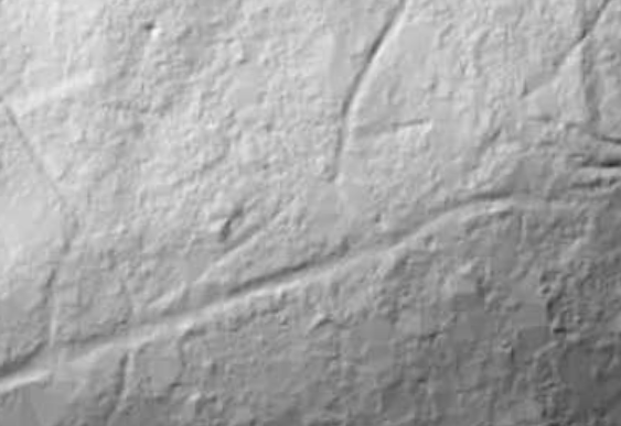
LIDAR of https://www.openstreetmap.org/#map=19/50.06092/19.85230 location from Geoportal.gov.pl
Licensing
![]()
This file has been released into the public domain by the copyright holder, its copyright has expired, or it is ineligible for copyright. This applies worldwide.
Please, please use more specific template such as {{PD-self}} / {{PD-creator}} / {{PD-shape}} / {{PD-USGov}} / {{PD-old}} / {{PD-RU-exempt}} ... This template is not making clear why this work is in the public domain.
Please, please use more specific template such as {{PD-self}} / {{PD-creator}} / {{PD-shape}} / {{PD-USGov}} / {{PD-old}} / {{PD-RU-exempt}} ... This template is not making clear why this work is in the public domain.
File history
Click on a date/time to view the file as it appeared at that time.
| Date/Time | Thumbnail | Dimensions | User | Comment | |
|---|---|---|---|---|---|
| current | 20:40, 13 December 2020 | | 563 × 387 (113 KB) | Mateusz Konieczny (talk | contribs) | LIDAR of https://www.openstreetmap.org/#map=19/50.06092/19.85230 location from Geoportal.gov.pl |
You cannot overwrite this file.