File:Lakes.png
Jump to navigation
Jump to search

No higher resolution available.
Lakes.png (612 × 405 pixels, file size: 51 KB, MIME type: image/png)
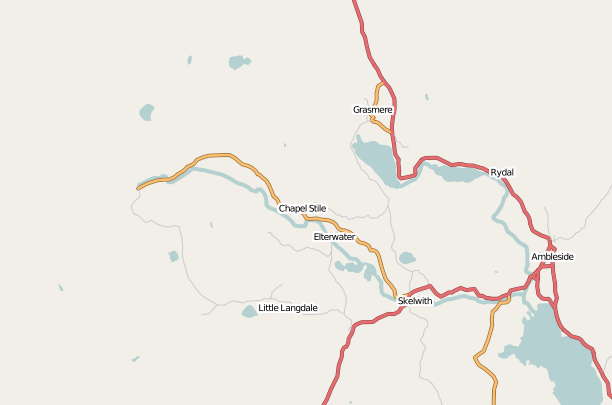
Focus area of Lakes mapping week
File history
Click on a date/time to view the file as it appeared at that time.
| Date/Time | Thumbnail | Dimensions | User | Comment | |
|---|---|---|---|---|---|
| current | 15:31, 19 June 2007 | | 612 × 405 (51 KB) | Steve8 (talk | contribs) | Focus area of Lakes mapping week |
You cannot overwrite this file.
File usage
The following page uses this file: