File:Latlon.org 3D.png
Jump to navigation
Jump to search


Size of this preview: 634 × 599 pixels. Other resolutions: 254 × 240 pixels | 508 × 480 pixels | 860 × 813 pixels.
Original file (860 × 813 pixels, file size: 348 KB, MIME type: image/png)
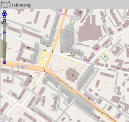
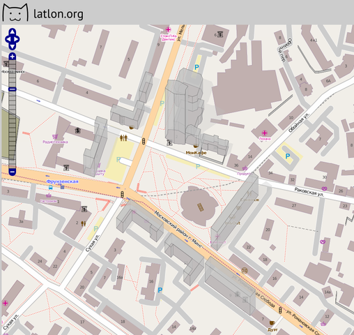
Screenshot of latlon.org showing the buildings layer
e.g. http://latlon.org/buildings?zoom=17&lat=55.75878&lon=37.64585&layers=BT TODO: find same location featured
File history
Click on a date/time to view the file as it appeared at that time.
| Date/Time | Thumbnail | Dimensions | User | Comment | |
|---|---|---|---|---|---|
| current | 21:06, 12 February 2011 | | 860 × 813 (348 KB) | Osmmaker (talk | contribs) |
You cannot overwrite this file.
File usage
The following 3 pages use this file: