File:LocationAntarctica.png
Jump to navigation
Jump to search

Size of this preview: 800 × 407 pixels. Other resolutions: 320 × 163 pixels | 640 × 326 pixels | 1,024 × 521 pixels | 1,280 × 651 pixels | 2,759 × 1,404 pixels.
Original file (2,759 × 1,404 pixels, file size: 50 KB, MIME type: image/png)
This file and its description are from Wikimedia Commons.

|
File:Antarctica Location.svg is a vector version of this file. It should be used in place of this PNG file when not inferior.
File:LocationAntarctica.png → File:Antarctica Location.svg
For more information, see Help:SVG. |
 |
Summary
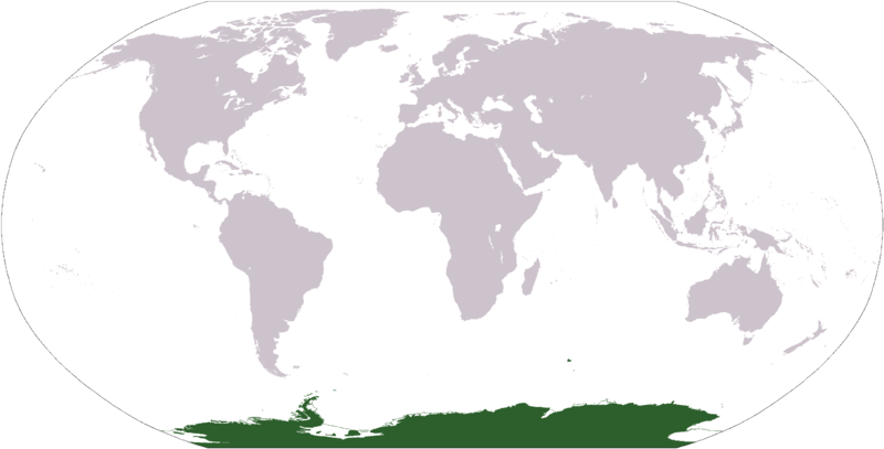
Español: Mapamundi mostrando la ubicación de la Antártida.
World map depicting Antarctica; map adapted from PDF world map at CIA World Fact Book.
Updated March 31, 2006 to remove green above 60°S line. in december there is 24 hours of sun light
Licensing
This image is in the public domain because it contains materials that originally came from the United States Central Intelligence Agency's World Factbook.
|
 |
File history
Click on a date/time to view the file as it appeared at that time.
| Date/Time | Thumbnail | Dimensions | User | Comment | |
|---|---|---|---|---|---|
| current | 17:13, 23 April 2013 | | 2,759 × 1,404 (50 KB) | wikimediacommons>User02062000 |
File usage
More than 100 pages use this file. The following list shows the first 100 pages that use this file only. A full list is available.
- Africa
- Antarctica
- Ar:إفريقيا
- Asia
- Az:Mapping projects
- Continents
- Earth
- Europe
- List of territory based projects
- North America
- Oceania
- South America
- Tr:List of territory based projects
- Tzm:ⵟⴰⴼⵔⵉⴽⵜ
- World
- Template:Continent Browse
- Category:Africa
- Category:Africa/translations
- Category:Antarctica
- Category:Ar:Countries by continent
- Category:Ar:إفريقيا
- Category:Ar:بلد في إفريقيا
- Category:Asia
- Category:Cities in Africa
- Category:Cities in Asia
- Category:Cities in Europe
- Category:Cities in North America
- Category:Cities in Oceania
- Category:Cities in South America
- Category:Continents on Earth
- Category:Countries by continent
- Category:Countries by continent/translations
- Category:Countries in Africa
- Category:Countries in Africa/translations
- Category:Countries in Asia
- Category:Countries in Europe
- Category:Countries in North America
- Category:Countries in Oceania
- Category:Countries in South America
- Category:Data sources by continent
- Category:Data sources from Antarctica
- Category:Data sources from Europe
- Category:Data sources from North America
- Category:ES:África
- Category:Earth
- Category:Europe
- Category:FR:Afrique
- Category:FR:Pays en Afrique
- Category:FR:Pays par continent
- Category:Hamlets in Europe
- Category:Import by continent
- Category:Import from Africa
- Category:Import from Antarctica
- Category:Import from Asia
- Category:Import from Europe
- Category:Import from North America
- Category:Import from Oceania
- Category:Import from South America
- Category:Islands
- Category:Islands in Europe
- Category:Islands in North America
- Category:Islands in Oceania
- Category:Islands in South America
- Category:Maps of places in Africa
- Category:Maps of places in Asia
- Category:Maps of places in Europe
- Category:Maps of places in North America
- Category:Maps of places in Oceania
- Category:Maps of places in South America
- Category:Mountains
- Category:Municipalities
- Category:Municipalities in Europe
- Category:North America
- Category:Oceania
- Category:Places in Europe
- Category:RU:Континенты на Земле
- Category:South America
- Category:State of the Map
- Category:State of the Map Europe
- Category:Towns in Asia
- Category:Towns in Europe
- Category:Towns in North America
- Category:Towns in South America
- Category:Tzm:ⵟⴰⴼⵔⵉⴽⵜ
- Category:Users in Africa
- Category:Users in Asia
- Category:Users in Europe
- Category:Users in North America
- Category:Users in Oceania
- Category:Users in South America
- Category:Villages in Africa
- Category:Villages in Asia
- Category:Villages in Europe
- Category:Villages in North America
- Category:Villages in Oceania
- Category:Villages in South America
- DE:Mapping projects
- DE:Welt
- FR:List of territory based projects
- RU:Азия
View more links to this file.