File:London-adminborders 20070731.png
Jump to navigation
Jump to search

Size of this preview: 640 × 600 pixels. Other resolutions: 256 × 240 pixels | 819 × 768 pixels | 1,092 × 1,024 pixels | 1,662 × 1,558 pixels.
Original file (1,662 × 1,558 pixels, file size: 344 KB, MIME type: image/png)
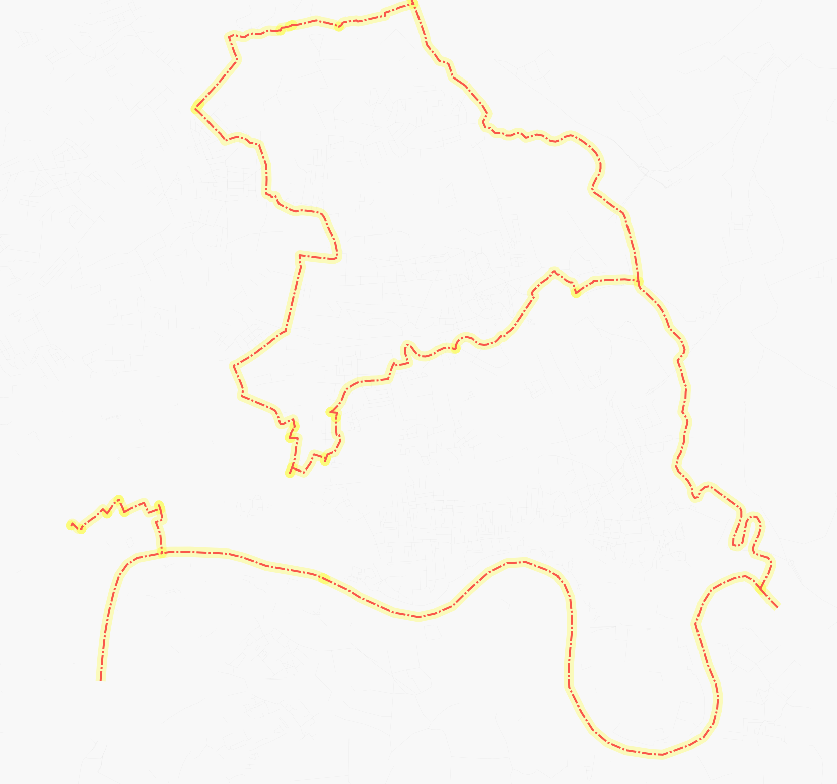
osamrendered output of administrative borders within london, as of 31 july 2007
File history
Click on a date/time to view the file as it appeared at that time.
| Date/Time | Thumbnail | Dimensions | User | Comment | |
|---|---|---|---|---|---|
| current | 17:24, 31 July 2007 | | 1,662 × 1,558 (344 KB) | Morwen (talk | contribs) | osamrendered output of administrative borders within london, as of 31 july 2007 |
You cannot overwrite this file.
File usage
The following page uses this file: