File:London-yahoo-coverage.gif
Jump to navigation
Jump to search

No higher resolution available.
London-yahoo-coverage.gif (617 × 475 pixels, file size: 155 KB, MIME type: image/gif)
outlines bounds of Yahoo! Aerial Imagery coverage of greater London
Created back in 2006 by following around the edge of the yahoo imagery on maps.yahoo.com and drawing the red line in approximately the right place. Of course these days we can see such a thing as a dynamic JavaScript polygon: http://www.openstreetmap.org/?way=32773976
The underlying image is Mapnik (updated March 2010).
![]()
Contains map data © OpenStreetMap contributors, made available under the terms of the Creative Commons Attribution-ShareAlike 2.0 (CC-BY-SA-2.0).
File history
Click on a date/time to view the file as it appeared at that time.
| Date/Time | Thumbnail | Dimensions | User | Comment | |
|---|---|---|---|---|---|
| current | 23:12, 23 March 2010 | | 617 × 475 (155 KB) | Harry Wood (talk | contribs) | London map's come along a fair bit since this was updated! |
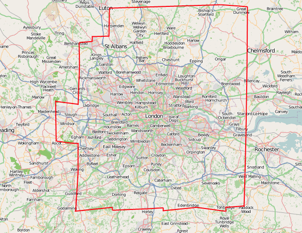
| 22:39, 6 March 2007 | 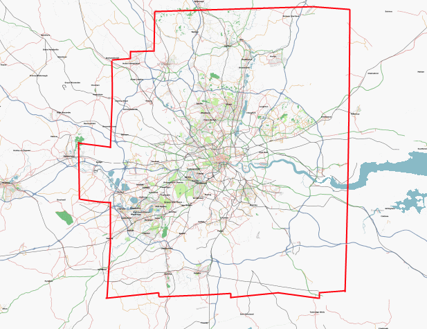 | 617 × 475 (79 KB) | Harry Wood (talk | contribs) | outlines bounds of Yahoo! Aerial Imagery coverage of greater London |
You cannot overwrite this file.
File usage
There are no pages that use this file.