File:London Congestion Charge Zone since 2011.png
Jump to navigation
Jump to search


Size of this preview: 800 × 600 pixels. Other resolutions: 320 × 240 pixels | 640 × 480 pixels | 1,024 × 768 pixels | 1,280 × 960 pixels | 1,400 × 1,050 pixels.
Original file (1,400 × 1,050 pixels, file size: 2.26 MB, MIME type: image/png)
This file and its description are from Wikimedia Commons.
Summary
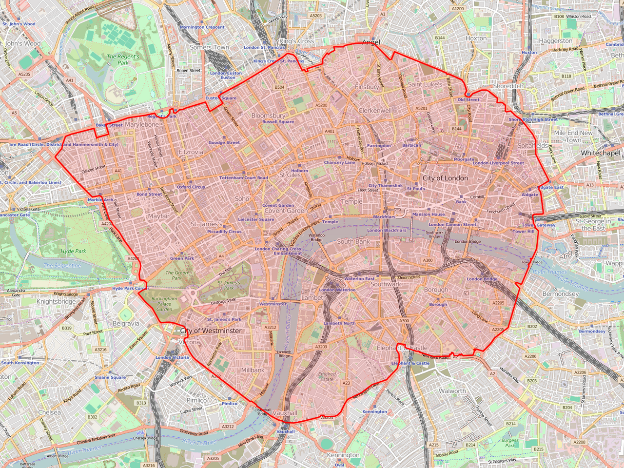
- Source: Map from http://www.openstreetmap.org (cc-by-sa-2.0)
CCZ information: What it is. BBC News. British Broadcasting Corporation (2003). Retrieved on 2007-05-26.
Licensing
This file is licensed under the Creative Commons Attribution-Share Alike 2.0 Generic license.
- You are free:
- to share – to copy, distribute and transmit the work
- to remix – to adapt the work
- Under the following conditions:
- attribution – You must give appropriate credit, provide a link to the license, and indicate if changes were made. You may do so in any reasonable manner, but not in any way that suggests the licensor endorses you or your use.
- share alike – If you remix, transform, or build upon the material, you must distribute your contributions under the same or compatible license as the original.
Map image from openstreetmap.org, where it was built collaboratively by many contributors.
File history
Click on a date/time to view the file as it appeared at that time.
| Date/Time | Thumbnail | Dimensions | User | Comment | |
|---|---|---|---|---|---|
| current | 09:43, 27 July 2016 | | 1,400 × 1,050 (2.26 MB) | wikimediacommons>Ed g2s | Updated map, more accurate outline |
File usage
The following page uses this file: