File:Long Lane Prow 2020 target.png
Jump to navigation
Jump to search

Size of this preview: 800 × 566 pixels. Other resolutions: 320 × 226 pixels | 640 × 453 pixels | 1,024 × 724 pixels | 1,280 × 905 pixels | 2,560 × 1,810 pixels | 2,970 × 2,100 pixels.
Original file (2,970 × 2,100 pixels, file size: 2.01 MB, MIME type: image/png)
Summary
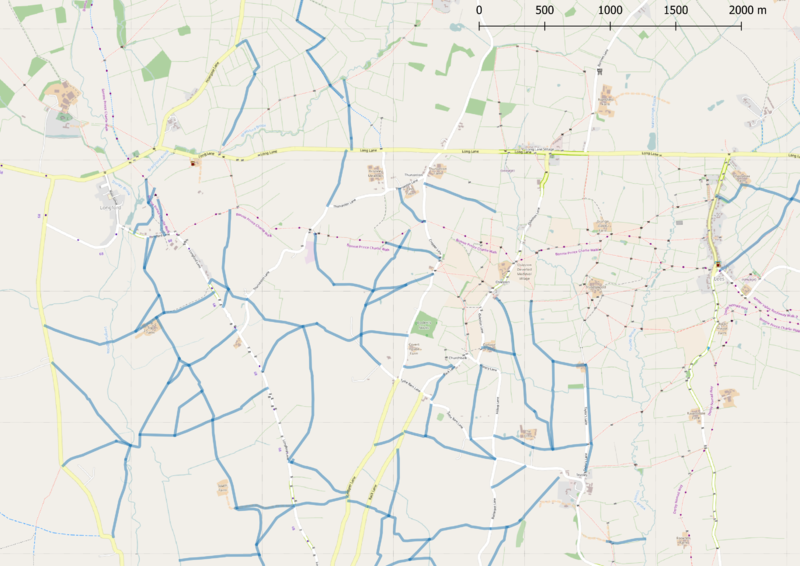
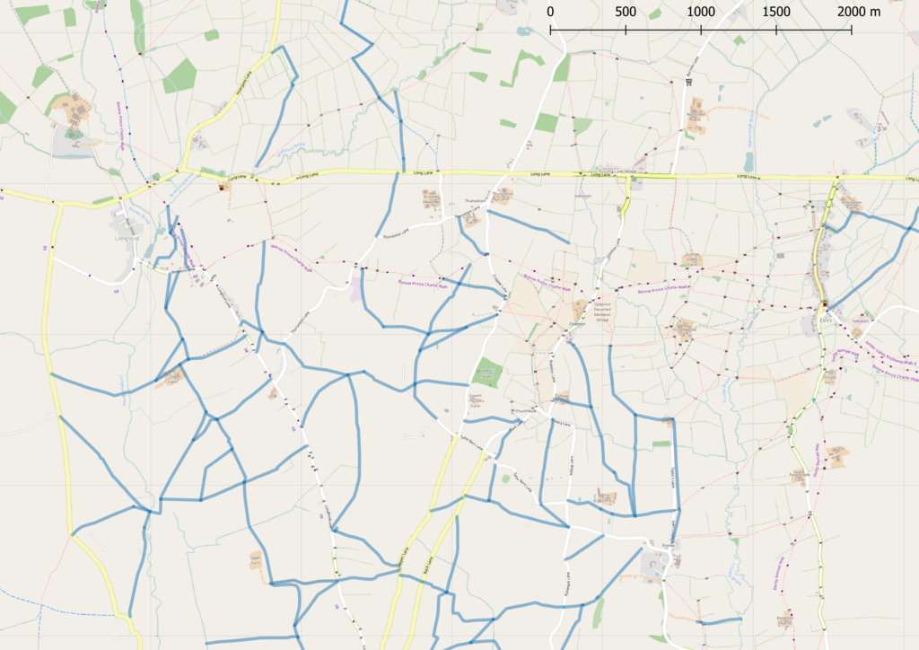
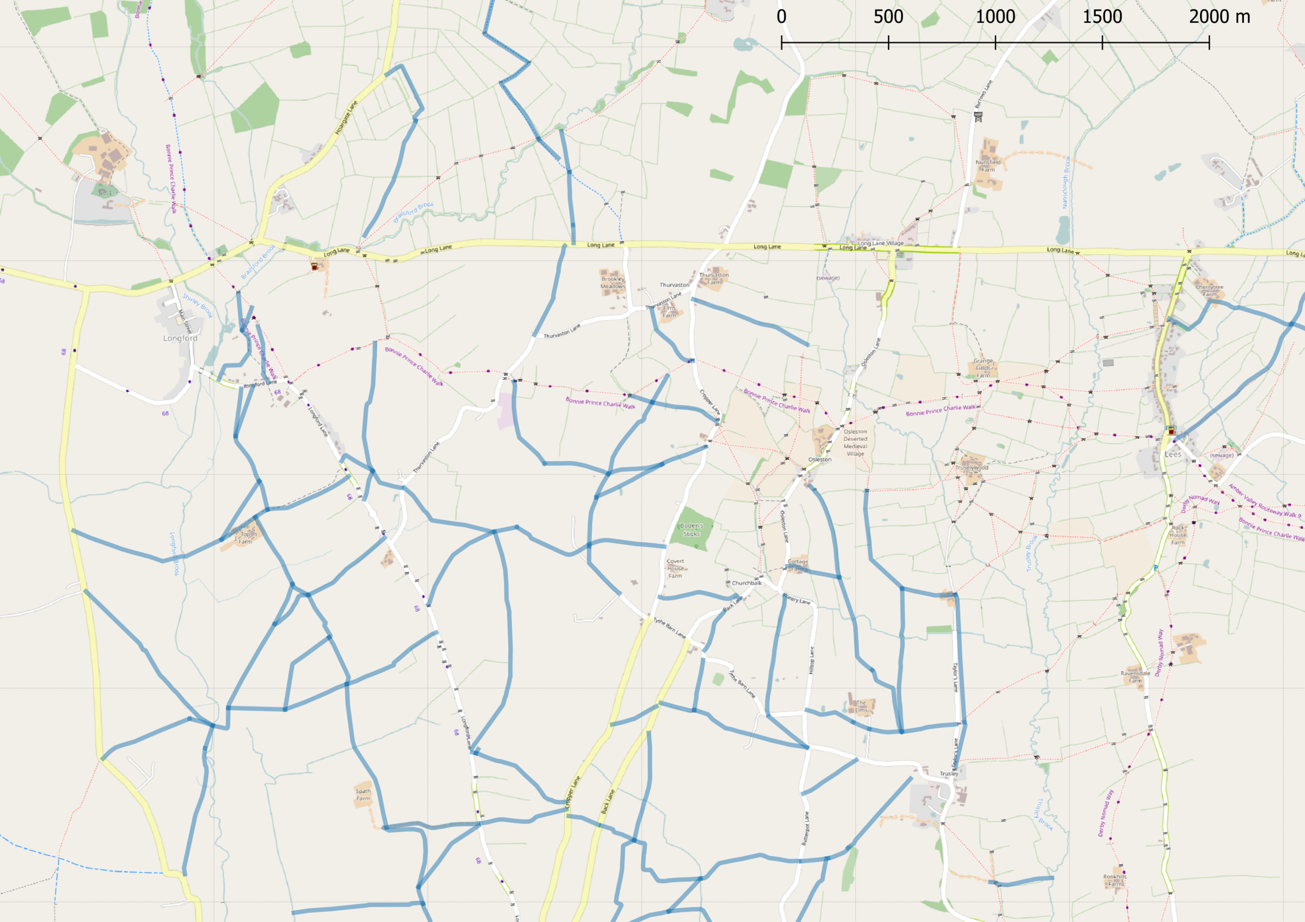
Missing rights of way in the area between Long Lane & Longford Derbyshire.
Licensing
| Contains map data © OpenStreetMap contributors, made available under the terms of the Open Database License (ODbL).
The ODbL does not require any particular license for maps produced from ODbL data, produced maps may be subject also to other licences. |
File history
Click on a date/time to view the file as it appeared at that time.
| Date/Time | Thumbnail | Dimensions | User | Comment | |
|---|---|---|---|---|---|
| current | 12:38, 18 December 2019 | | 2,970 × 2,100 (2.01 MB) | SK53 (talk | contribs) | Missing rights of way in the area between Long Lane & Longford Derbyshire. |
You cannot overwrite this file.
File usage
The following page uses this file: