File:Long Lane Village mapped.png
Jump to navigation
Jump to search
Size of this preview: 800 × 359 pixels. Other resolutions: 320 × 144 pixels | 640 × 287 pixels | 1,366 × 613 pixels.
Original file (1,366 × 613 pixels, file size: 181 KB, MIME type: image/png)
Summary
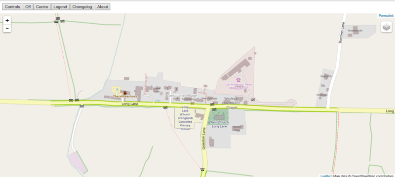
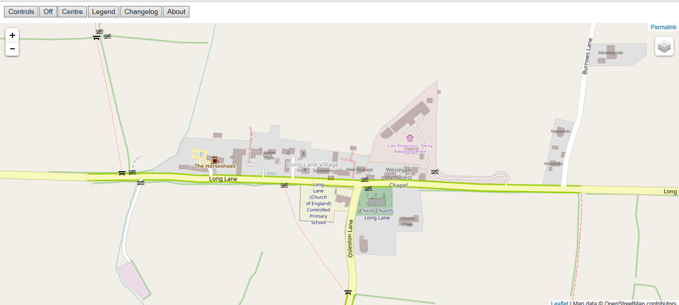
Long Lane Village mapped by will_p during Lees Mapping party: SomeoneElse's render.
Licensing
| Contains map data © OpenStreetMap contributors, made available under the terms of the Open Database License (ODbL).
The ODbL does not require any particular license for maps produced from ODbL data, produced maps may be subject also to other licences. |
File history
Click on a date/time to view the file as it appeared at that time.
| Date/Time | Thumbnail | Dimensions | User | Comment | |
|---|---|---|---|---|---|
| current | 21:33, 6 January 2019 | | 1,366 × 613 (181 KB) | SK53 (talk | contribs) | Long Lane Village mapped by will_p during Lees Mapping party: SomeoneElse's render. |
You cannot overwrite this file.
File usage
The following page uses this file: