File:Luxembourg-Admin Boundaries.png
Jump to navigation
Jump to search


Size of this preview: 478 × 599 pixels. Other resolutions: 191 × 240 pixels | 383 × 480 pixels | 613 × 768 pixels | 817 × 1,024 pixels | 1,875 × 2,349 pixels.
Original file (1,875 × 2,349 pixels, file size: 448 KB, MIME type: image/png)
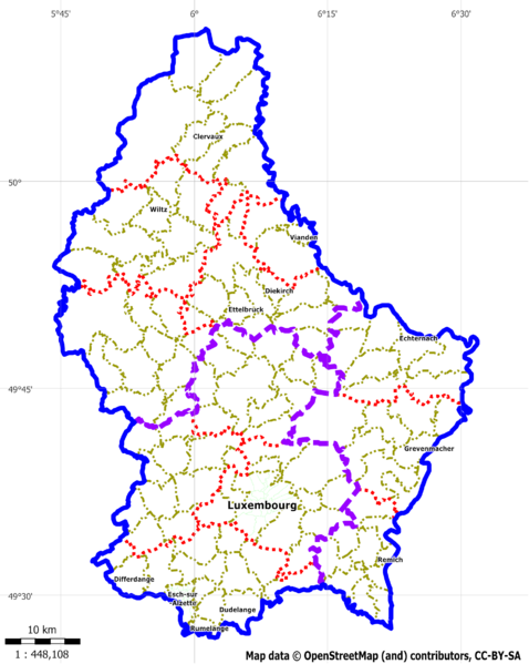
administrativ boundaries of Luxembourg rendered with Maperitive on the basis of OSM Data (Geofabrik-04-Jan-2011)
File history
Click on a date/time to view the file as it appeared at that time.
| Date/Time | Thumbnail | Dimensions | User | Comment | |
|---|---|---|---|---|---|
| current | 23:54, 10 January 2011 | | 1,875 × 2,349 (448 KB) | Loll78 (talk | contribs) | administrativ boundaries of Luxembourg rendered with Maperitive on the basis of OSM Data (Geofabrik-10-Jan-2011) |
| 18:45, 5 January 2011 |  | 625 × 766 (109 KB) | Loll78 (talk | contribs) | administrativ boundaries of Luxembourg rendered with Maperitive on the basis of OSM Data (Geofabrik-05-Jan-2011) | |
| 14:58, 4 January 2011 | 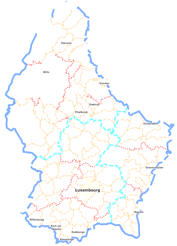 | 586 × 812 (125 KB) | Loll78 (talk | contribs) | administrativ boundaries of Luxembourg rendered with Maperitive on the basis of OSM Data (Geofabrik-04-Jan-2011) | |
| 14:42, 4 January 2011 |  | 1,281 × 725 (107 KB) | Loll78 (talk | contribs) | Reverted to version as of 14:26, 4 January 2011 | |
| 14:36, 4 January 2011 | 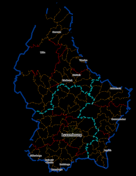 | 560 × 725 (107 KB) | Loll78 (talk | contribs) | ||
| 14:26, 4 January 2011 | 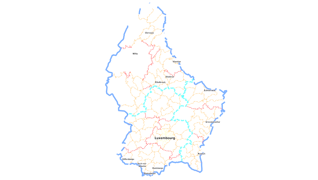 | 1,281 × 725 (107 KB) | Loll78 (talk | contribs) | administrativ boundaries of Luxembourg rendered with Maperitive on the basis of OSM Data (Geofabrik-04-Jan-2011) |
You cannot overwrite this file.
File usage
The following page uses this file: