File:Manati osmrender.png
Jump to navigation
Jump to search

Size of this preview: 643 × 600 pixels. Other resolutions: 257 × 240 pixels | 514 × 480 pixels | 941 × 878 pixels.
Original file (941 × 878 pixels, file size: 236 KB, MIME type: image/png)
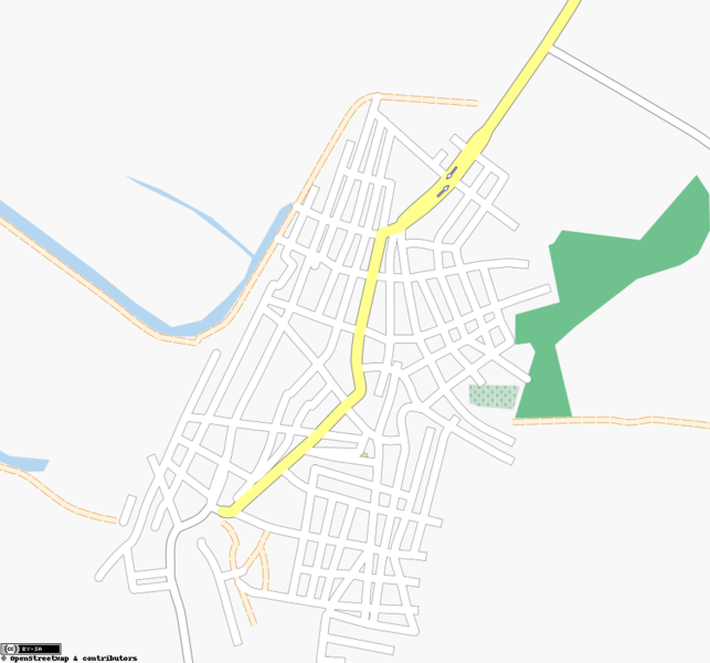
Manatí, Atlántico, Colombia 2010 map. Colombia Floods.
File history
Click on a date/time to view the file as it appeared at that time.
| Date/Time | Thumbnail | Dimensions | User | Comment | |
|---|---|---|---|---|---|
| current | 03:09, 13 December 2010 | | 941 × 878 (236 KB) | Hyances (talk | contribs) | Manatí, Atlántico, Colombia 2010 map. Colombia Floods. |
You cannot overwrite this file.
File usage
There are no pages that use this file.