File:Map PL podk debica.png
Jump to navigation
Jump to search

No higher resolution available.
Map_PL_podk_debica.png (300 × 315 pixels, file size: 57 KB, MIME type: image/png)
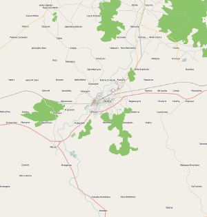
Dębica County, Subcarpathian, Poland
Licensing
![]()
Contains map data © OpenStreetMap contributors, made available under the terms of the Creative Commons Attribution-ShareAlike 2.0 (CC-BY-SA-2.0).
![]()
This image file has been flagged as it could be improved. For example, through a more suitable cut, through a larger number of pixels or through a file format with less lossy compression.
File history
Click on a date/time to view the file as it appeared at that time.
| Date/Time | Thumbnail | Dimensions | User | Comment | |
|---|---|---|---|---|---|
| current | 12:00, 11 April 2009 | | 300 × 315 (57 KB) | Uazz (talk | contribs) | Dębica County, Subcarpathian, Poland |
You cannot overwrite this file.
File usage
There are no pages that use this file.