File:Map image.png
Jump to navigation
Jump to search

No higher resolution available.
Map_image.png (640 × 480 pixels, file size: 625 KB, MIME type: image/png)
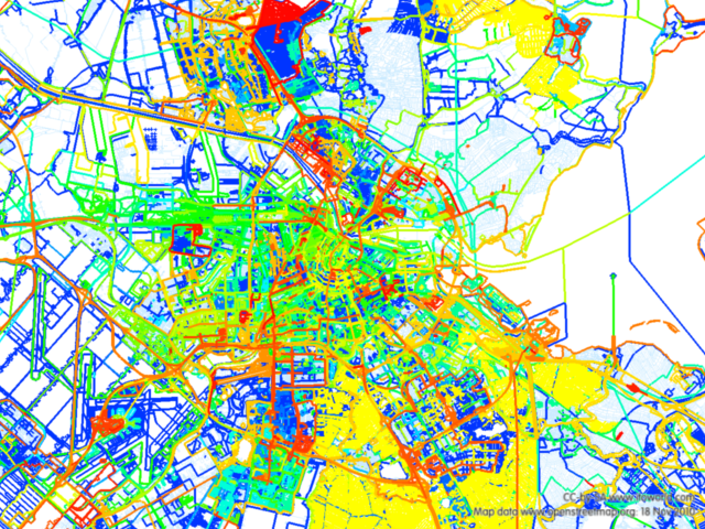
A map produced with the ITO OSM Mapper showing all non bulk import edits in the Amsterdam area. The color gradient indicates age; warmer colors are more recent edits.
File history
Click on a date/time to view the file as it appeared at that time.
| Date/Time | Thumbnail | Dimensions | User | Comment | |
|---|---|---|---|---|---|
| current | 10:41, 19 November 2010 | | 640 × 480 (625 KB) | Mvexel (talk | contribs) | A map produced with the ITO OSM Mapper showing all non bulk import edits in the Amsterdam area. The color gradient indicates age; warmer colors are more recent edits. |
You cannot overwrite this file.
File usage
The following page uses this file: