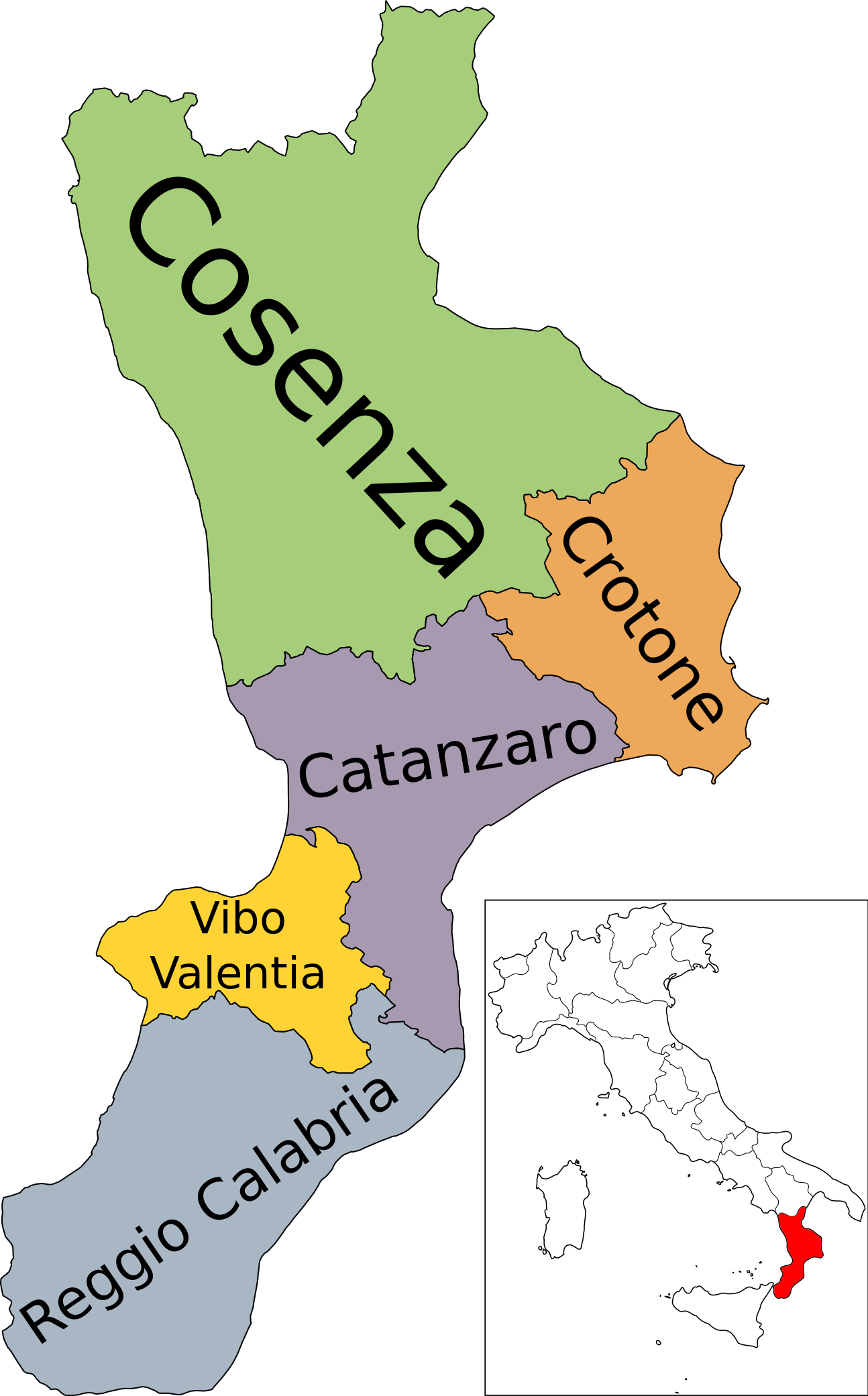
File:Map of region of Calabria, Italy, with provinces-it.svg
Jump to navigation
Jump to search


 Map of region of Calabria, Italy.svg (by Vonvikken).
 Italy map with regions.svg (by Helix84).

Size of this PNG preview of this SVG file: 372 × 599 pixels. Other resolutions: 149 × 240 pixels | 298 × 480 pixels | 477 × 768 pixels | 636 × 1,024 pixels | 1,294 × 2,082 pixels.
Original file (SVG file, nominally 1,294 × 2,082 pixels, file size: 126 KB)
This file and its description are from Wikimedia Commons.
Summary
| Description | (Italian version) |
| Date | |
| Source | Own work |
| Author | Vonvikken |
| Other versions |
    |


W3C-validity not checked.
This W3C-unspecified vector image was created with Inkscape .

|
This SVG file contains embedded text that can be translated into your language, using any capable SVG editor, text editor or the SVG Translate tool. For more information see: About translating SVG files. |
This vector image includes elements that have been taken or adapted from this file:
This vector image includes elements that have been taken or adapted from this file:
Licensing
| This work has been released into the public domain by its author, Vonvikken. This applies worldwide. In some countries this may not be legally possible; if so: |
File history
Click on a date/time to view the file as it appeared at that time.
| Date/Time | Thumbnail | Dimensions | User | Comment | |
|---|---|---|---|---|---|
| current | 05:36, 19 September 2023 | | 1,294 × 2,082 (126 KB) | wikimediacommons>Quetz72 | File uploaded using svgtranslate tool (https://svgtranslate.toolforge.org/). Added translation for ca. |
File usage
The following page uses this file: