File:Mape furlane.png
Jump to navigation
Jump to search


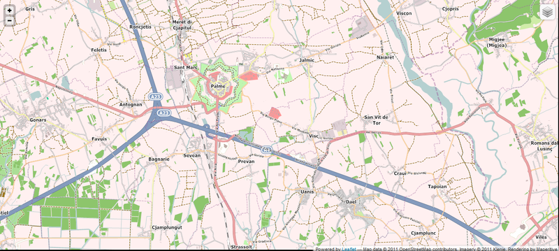
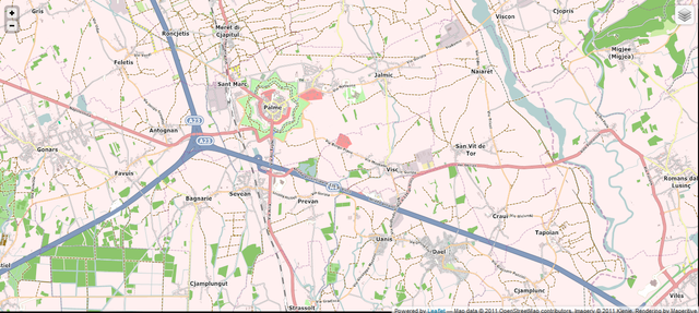
Size of this preview: 800 × 359 pixels. Other resolutions: 320 × 143 pixels | 640 × 287 pixels | 1,316 × 590 pixels.
Original file (1,316 × 590 pixels, file size: 551 KB, MIME type: image/png)
Summary
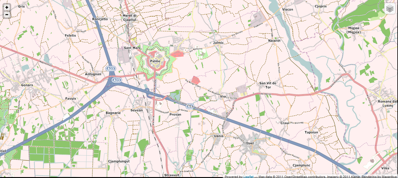
A map rendering Friulian language names (both standard and local variants) around Palmanova, Friuli-Venezia Giulia, Italy. The rendering is made with Maperitive and the map can be viewed on [1].
Licensing
![]()
This file has been released into the public domain by the copyright holder, its copyright has expired, or it is ineligible for copyright. This applies worldwide.
Please, please use more specific template such as {{PD-self}} / {{PD-creator}} / {{PD-shape}} / {{PD-USGov}} / {{PD-old}} / {{PD-RU-exempt}} ... This template is not making clear why this work is in the public domain.
Please, please use more specific template such as {{PD-self}} / {{PD-creator}} / {{PD-shape}} / {{PD-USGov}} / {{PD-old}} / {{PD-RU-exempt}} ... This template is not making clear why this work is in the public domain.
This is a Featured image, which means that it has been identified as one of the best examples of OpenStreetMap mapping, or that it provides a useful illustration of the OpenStreetMap project. If you know another image of similar quality, you can nominate it on Featured image proposals.
Front-page image for week 46 of 2011 (14–20 Nov.).
- Image descriptions
- Deutsch : Karte von nord-östlichen Italien in der Minderheitensprache Furlan, Verwendung von Maperitive für wöchentliches Rendering.
- English : Friulian-minority language map of northeast Italy, using Maperitive for weekly rendering.
- français : Carte du Nord-Est de l'Italie en langue de la minorité Frioulan, utilisant Maperitive pour le rendu hebdomadaire.
- italiano : Mappa in lingua minoritaria friulana del nordest italiano, generata settimanalmente utilizzando Maperitive.
- русский : Карта северо-востоке части Италии на фриульском языке меньшинства, каждую неделю отрисовываемая при помощи Маперитива
- 中文(简体) : 义大利东北部的少数族裔语言弗留利语地图,使用Maperitive每周算绘一次。
- 中文(繁體) : 義大利東北部的少數族裔語言佛里烏利語地圖,使用Maperitive每週算繪一次。
File history
Click on a date/time to view the file as it appeared at that time.
| Date/Time | Thumbnail | Dimensions | User | Comment | |
|---|---|---|---|---|---|
| current | 18:24, 8 November 2011 | | 1,316 × 590 (551 KB) | Klenje (talk | contribs) | A map rendering Friulian language names (both standard and local variants) around Palmanova, Friuli-Venezia Giulia, Italy. The rendering is made with Maperitive and the map can be viewed on [http://www.mapefurlane.eu]. |
You cannot overwrite this file.
File usage
The following 10 pages use this file: