File:Maperitive-220kv-iceland.png
Original file (1,276 × 793 pixels, file size: 88 KB, MIME type: image/png)
Summary
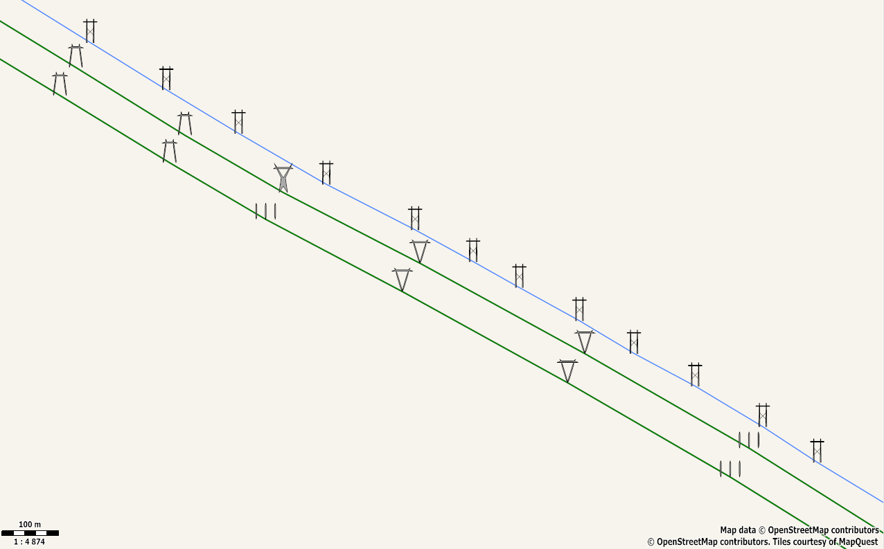
Maperitive rendering according to 'power tower' rules. Example showing towers of 220 kV and 132 kV power lines in northeastern Iceland near Egilsstaðir.
Licensing
![]()
![]()
![]()
Attribution not specified as a parameter! THIS LICENSE ALWAYS REQUIRES ATTRIBUTION! Use {{CC-BY-SA-2.0|Attribution, typically name of author}} See Template:CC-BY-SA-2.0 for full description how this template should be used.
Note, there is
{{CC-BY-SA-2.0 OpenStreetMap}} for files based on old OSM map data, before the license change made on 2012-09-12.There is also
{{OSM Carto screenshot||old_license}} for files based on old OSM map data, before the license change made on 2012-09-12, created using OSM Carto map style.
|
This file is using CC license which requires attribution, but it is not clearly specified. Uploader very often is also the author, but not always! If you created this work on your own and it is not derivative of some preexisting work, please use: {{CC-BY-SA-2.0-self}} to mark it as own work. If anyone else was involved please use: {{CC-BY-SA-2.0|1=WHOEVER SHOULD BE ATTRIBUTED}} Note: The file page should clearly state that either it is fully work of uploader or clearly specify which sources were used, preferably linking them. Note: Maybe this license is wrong and a different one should be used! Wiki:Media file license chart may be helpful. If unsure, ask on Talk:Wiki After fixing attribution – please remove this template. Files without licenses marked with this template are listed in Category:Media without a proper attribution |
File history
Click on a date/time to view the file as it appeared at that time.
| Date/Time | Thumbnail | Dimensions | User | Comment | |
|---|---|---|---|---|---|
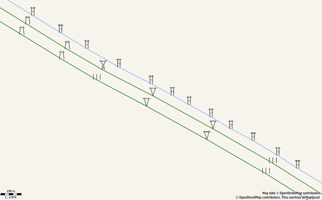
| current | 19:47, 19 November 2013 | | 1,276 × 793 (88 KB) | Polderrunner (talk | contribs) | Rendering according to latest ruleset v1.2 |
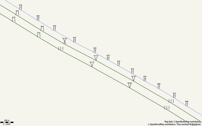
| 22:32, 11 November 2013 | 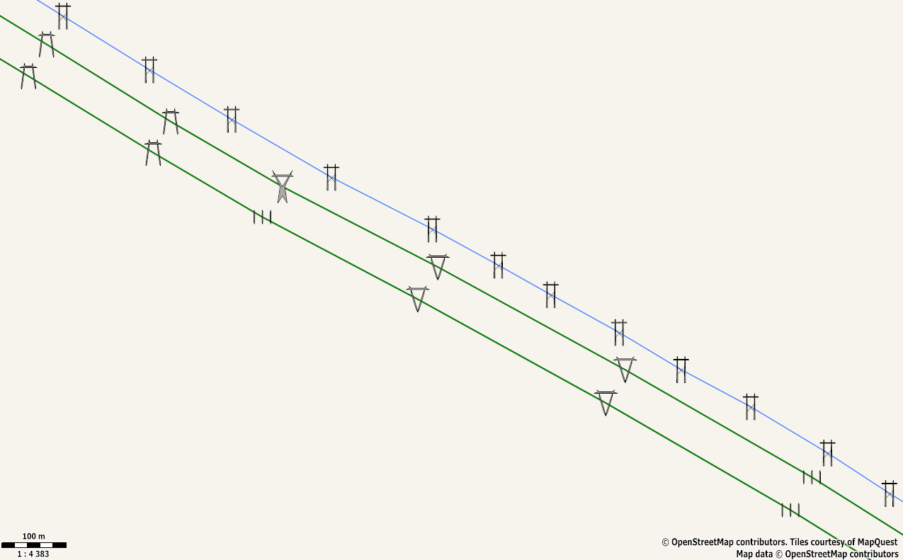 | 1,275 × 791 (87 KB) | Polderrunner (talk | contribs) | Maperitive rendering according to 'power tower' rules. Example showing towers of 220 kV and 132 kV power lines in northeastern Iceland near Egilsstaðir. |
You cannot overwrite this file.
File usage
There are no pages that use this file.