File:Mowbray.png
Jump to navigation
Jump to search

No higher resolution available.
Mowbray.png (757 × 385 pixels, file size: 250 KB, MIME type: image/png)
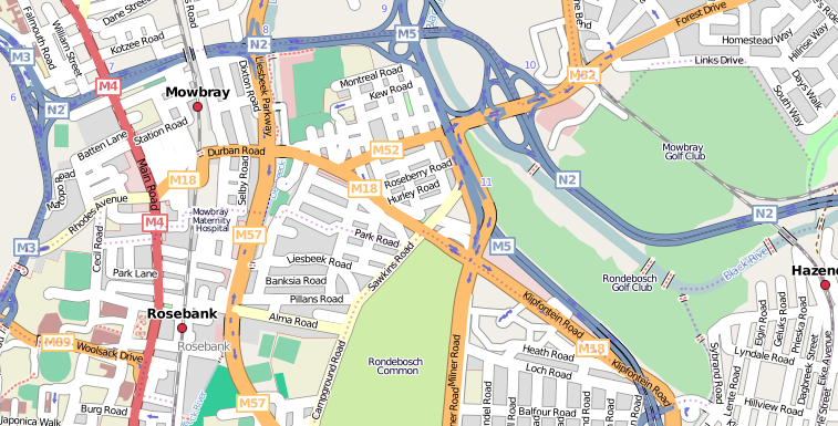
Mowbray, Cape Town.
Licensing
![]()
![]()
![]()
This screenshot contains OpenStreetMap Carto rendering.
The OpenStreetMap Carto map style is made available under the Creative Commons CC-0 1.0 Universal Public Domain Dedication.
- Attribution to the map data:
![]()
Contains map data © OpenStreetMap contributors, made available under the terms of the Creative Commons Attribution-ShareAlike 2.0 (CC-BY-SA-2.0).
File history
Click on a date/time to view the file as it appeared at that time.
| Date/Time | Thumbnail | Dimensions | User | Comment | |
|---|---|---|---|---|---|
| current | 10:07, 27 April 2008 | | 757 × 385 (250 KB) | Htonl (talk | contribs) | update |
| 09:06, 18 December 2007 | 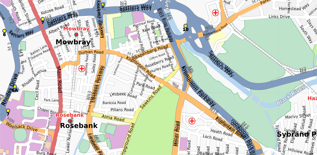 | 1,110 × 543 (532 KB) | Htonl (talk | contribs) | update | |
| 21:06, 21 October 2007 | 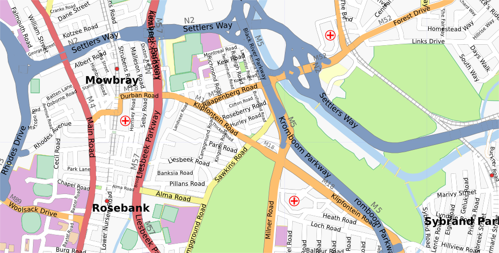 | 1,014 × 515 (458 KB) | Htonl (talk | contribs) | updated | |
| 02:06, 14 September 2007 | 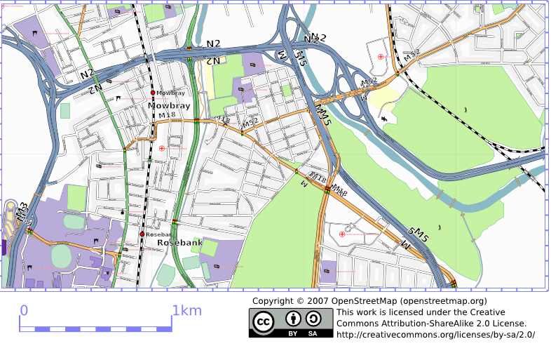 | 786 × 503 (353 KB) | Htonl (talk | contribs) | Osmarender of Mowbray, Cape Town. |
You cannot overwrite this file.
File usage
The following page uses this file: