File:Moy ensemble.jpg
Jump to navigation
Jump to search

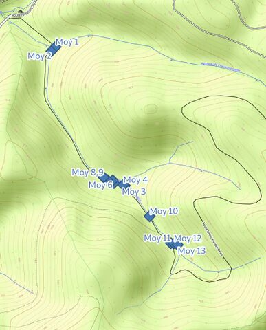
Size of this preview: 483 × 599 pixels. Other resolutions: 193 × 240 pixels | 387 × 480 pixels | 840 × 1,042 pixels.
Original file (840 × 1,042 pixels, file size: 111 KB, MIME type: image/jpeg)
Summary
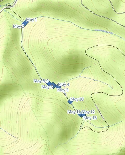
| Description | Plan d’ensemble |
|---|---|
| Author | Penegal |
| Source | Self-made |
| Date | 10 juin 2022 |
| Permission |
This work is licensed under the Creative Commons Attribution-ShareAlike 4.0 License.
Attribution: Background map data: © OpenStreetMap contributors, SRTM; map style: © OpenTopoMap (CC-BY-SA); screenshot taken by Penegal
|
File history
Click on a date/time to view the file as it appeared at that time.
| Date/Time | Thumbnail | Dimensions | User | Comment | |
|---|---|---|---|---|---|
| current | 12:55, 10 June 2022 | | 840 × 1,042 (111 KB) | Penegal (talk | contribs) | {{Information | description=Plan d’ensemble | source=Self-made | date=10 juin 2022 | author=Penegal | permission={{CC-BY-SA-4.0|1=Background map data: © OpenStreetMap contributors, SRTM|2=map style: © OpenTopoMap (CC-BY-SA), screenshot taken by Penegal}} | other_versions= }} |
You cannot overwrite this file.
File usage
The following page uses this file: