File:NOAA-20 1-Haiti-WestGridSet labeled.png
Jump to navigation
Jump to search


Size of this preview: 608 × 599 pixels. Other resolutions: 244 × 240 pixels | 487 × 480 pixels | 697 × 687 pixels.
Original file (697 × 687 pixels, file size: 114 KB, MIME type: image/png)
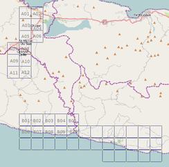
Background image captured from JOSM with slippymap plugin using MWSnap 3; text addition done using GIMP. Released into the public domain by author.
File history
Click on a date/time to view the file as it appeared at that time.
| Date/Time | Thumbnail | Dimensions | User | Comment | |
|---|---|---|---|---|---|
| current | 00:51, 27 March 2010 | | 697 × 687 (114 KB) | Ceyockey (talk | contribs) |
You cannot overwrite this file.
File usage
There are no pages that use this file.