File:NY-motorways-filtered.png
Jump to navigation
Jump to search

Size of this preview: 765 × 600 pixels. Other resolutions: 306 × 240 pixels | 612 × 480 pixels | 980 × 768 pixels | 1,280 × 1,003 pixels | 1,555 × 1,219 pixels.
Original file (1,555 × 1,219 pixels, file size: 1.61 MB, MIME type: image/png)
Summary
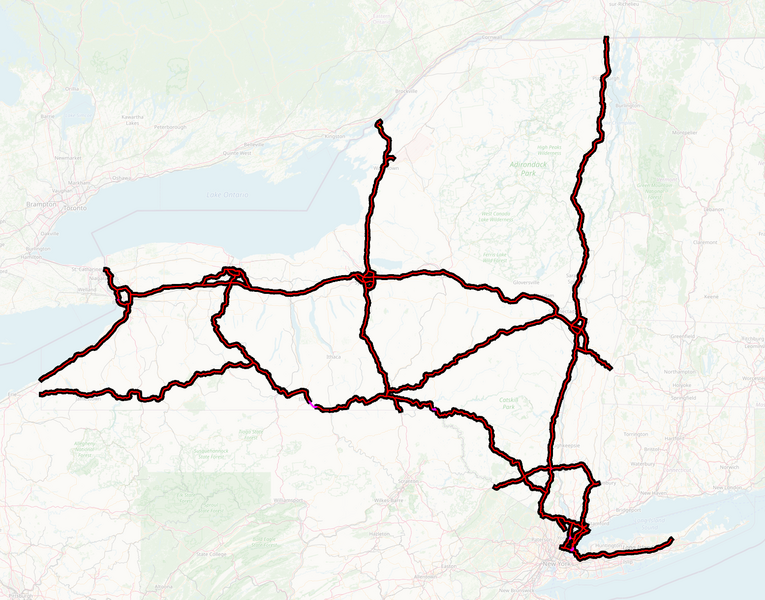
New York highways at Arterial Classification Code 1. Motorways shown in red with black casings; the handful of trunk roads that remain shown in magenta.
| Contains map data © OpenStreetMap contributors, made available under the terms of the Open Database License (ODbL).
The ODbL does not require any particular license for maps produced from ODbL data, produced maps may be subject also to other licences. |
File history
Click on a date/time to view the file as it appeared at that time.
| Date/Time | Thumbnail | Dimensions | User | Comment | |
|---|---|---|---|---|---|
| current | 03:18, 6 September 2021 | | 1,555 × 1,219 (1.61 MB) | Ke9tv (talk | contribs) | New York highways at Arterial Classification Code 1. Motorways shown in red with black casings; the handful of trunk roads that remain shown in magenta. |
You cannot overwrite this file.
File usage
The following page uses this file: