File:Nsul postcode layer mill hill east.png
Jump to navigation
Jump to search

Size of this preview: 800 × 450 pixels. Other resolutions: 320 × 180 pixels | 640 × 360 pixels | 1,024 × 576 pixels | 1,280 × 720 pixels | 1,920 × 1,080 pixels.
Original file (1,920 × 1,080 pixels, file size: 620 KB, MIME type: image/png)
Summary
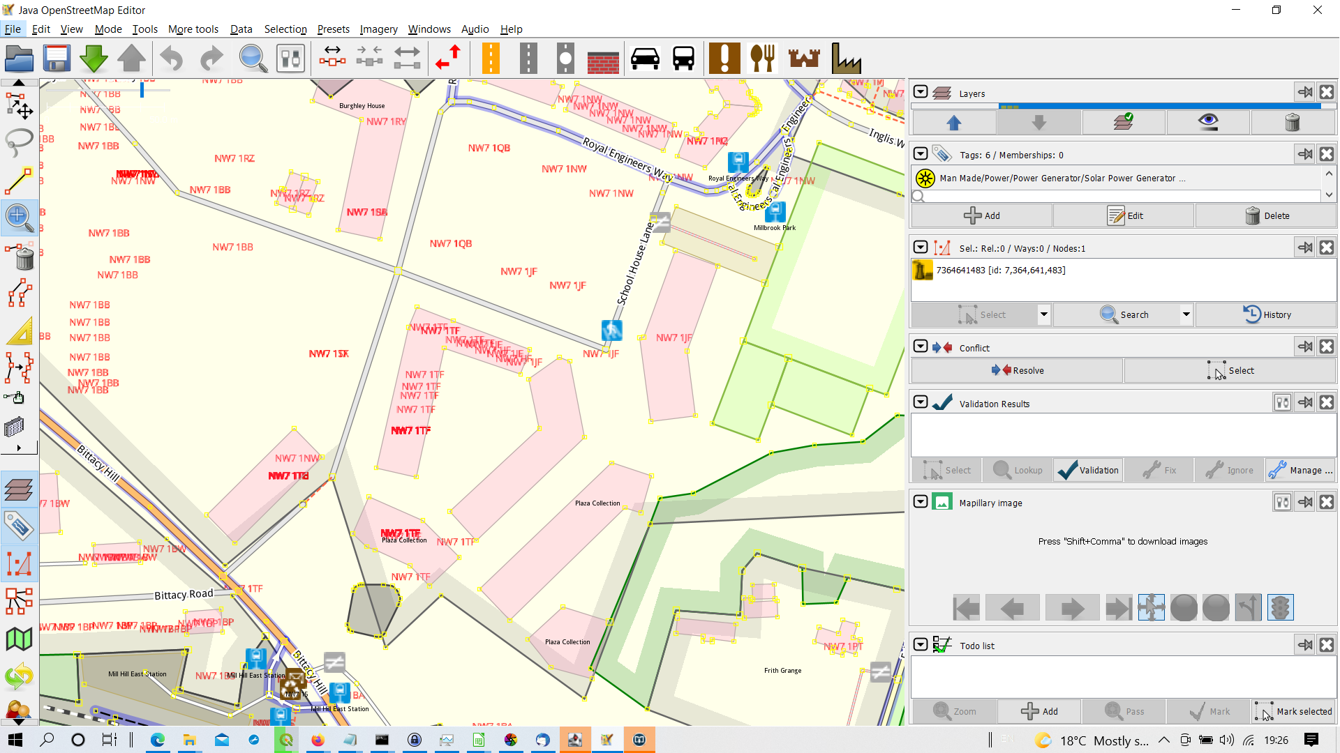
Individual postcodes from NSUL for a new development on the former Royal Engineers Barracks at Mill Hill East. UK Government data , (c) crown copyright OGL.
See July talk-gb list for detail for details
Licensing
| Contains map data © OpenStreetMap contributors, made available under the terms of the Open Database License (ODbL).
The ODbL does not require any particular license for maps produced from ODbL data, produced maps may be subject also to other licences. |
File history
Click on a date/time to view the file as it appeared at that time.
| Date/Time | Thumbnail | Dimensions | User | Comment | |
|---|---|---|---|---|---|
| current | 18:29, 29 July 2021 | | 1,920 × 1,080 (620 KB) | SK53 (talk | contribs) | Individual postcodes from NSUL for a new development on the former Royal Engineers Barracks at Mill Hill East. UK Government data , (c) crown copyright OGL. See July talk-gb list for detail for details |
You cannot overwrite this file.
File usage
There are no pages that use this file.