File:Oberpfalz-Aufteilung.png
Jump to navigation
Jump to search

No higher resolution available.
Oberpfalz-Aufteilung.png (391 × 400 pixels, file size: 13 KB, MIME type: image/png)
Das ist eine angedachte Aufteilung der Oberpfalz für die Luftbilder vom Vermessungsamt Bayerns
- This media file was uploaded by author of the work and its copyright holder.
![]()
![]()
![]()
This work is licensed under the Creative Commons Attribution-ShareAlike 4.0 License.
Attribution: Miche101
Attribution: Miche101
File history
Click on a date/time to view the file as it appeared at that time.
| Date/Time | Thumbnail | Dimensions | User | Comment | |
|---|---|---|---|---|---|
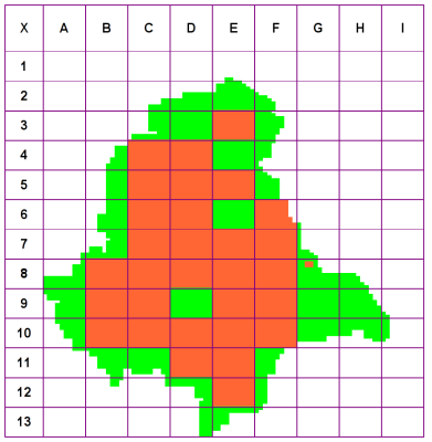
| current | 07:12, 19 April 2009 | | 391 × 400 (13 KB) | Miche101 (talk | contribs) | Zum Ende des Projektes |
| 16:20, 19 March 2009 | 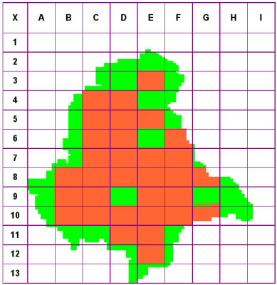 | 389 × 400 (14 KB) | Miche101 (talk | contribs) | ||
| 13:05, 6 March 2009 | 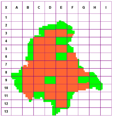 | 391 × 400 (13 KB) | Miche101 (talk | contribs) | ||
| 17:24, 22 February 2009 | 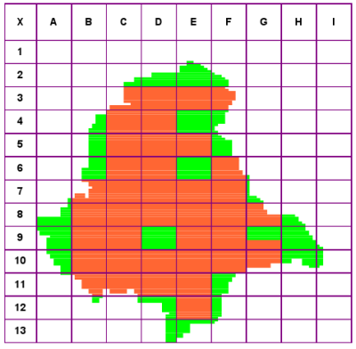 | 400 × 392 (19 KB) | Miche101 (talk | contribs) | ||
| 17:49, 5 February 2009 | 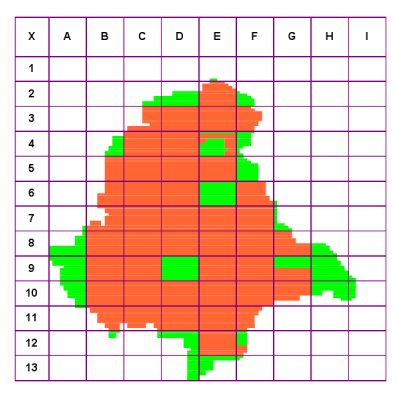 | 397 × 400 (14 KB) | Miche101 (talk | contribs) | Stand 3.2.2009 | |
| 15:24, 24 January 2009 |  | 400 × 394 (23 KB) | Miche101 (talk | contribs) | zum 24.Januar 2009 | |
| 09:56, 23 December 2008 | 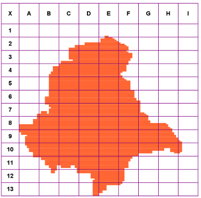 | 400 × 394 (24 KB) | Miche101 (talk | contribs) | Das ist eine angedachte Aufteilung der Oberpfalz für die Luftbilder vom Vermessungsamt Bayerns |
You cannot overwrite this file.
File usage
The following 2 pages use this file: