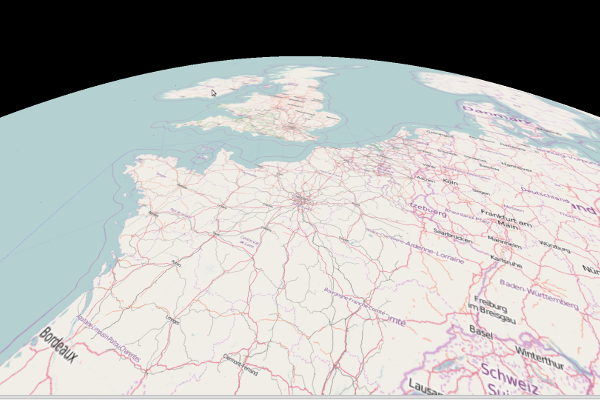
File:OpenEarthView.png
Jump to navigation
Jump to search

No higher resolution available.
OpenEarthView.png (600 × 400 pixels, file size: 242 KB, MIME type: image/png)
| Contains map data © OpenStreetMap contributors, made available under the terms of the Open Database License (ODbL).
The ODbL does not require any particular license for maps produced from ODbL data, produced maps may be subject also to other licences. |
File history
Click on a date/time to view the file as it appeared at that time.
| Date/Time | Thumbnail | Dimensions | User | Comment | |
|---|---|---|---|---|---|
| current | 16:10, 18 June 2016 | | 600 × 400 (242 KB) | Clement at igonet.fr (talk | contribs) | Reverted to version as of 16:07, 18 June 2016 |
| 16:09, 18 June 2016 |  | 600 × 400 (242 KB) | Clement at igonet.fr (talk | contribs) | New Open Earth View version using a globe with three.js | |
| 16:07, 18 June 2016 |  | 600 × 400 (242 KB) | Clement at igonet.fr (talk | contribs) | ||
| 00:38, 11 December 2015 |  | 600 × 400 (320 KB) | Reneman (talk | contribs) | Reverted to version as of 21:01, 10 December 2015 from User:Clement at igonet.fr | |
| 08:12, 25 March 2015 |  | 721 × 400 (316 KB) | Clement at igonet.fr (talk | contribs) | Open Earth View |
You cannot overwrite this file.
File usage
There are no pages that use this file.