File:Oxford-svg-20060918.png
Jump to navigation
Jump to search

Size of this preview: 647 × 600 pixels. Other resolutions: 259 × 240 pixels | 518 × 480 pixels | 833 × 772 pixels.
Original file (833 × 772 pixels, file size: 319 KB, MIME type: image/png)
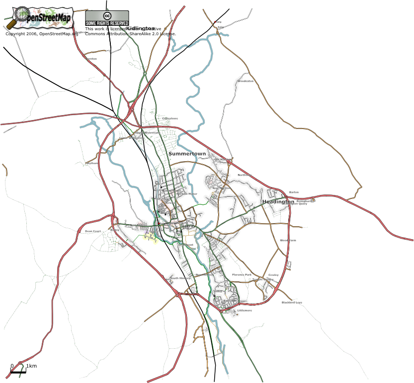
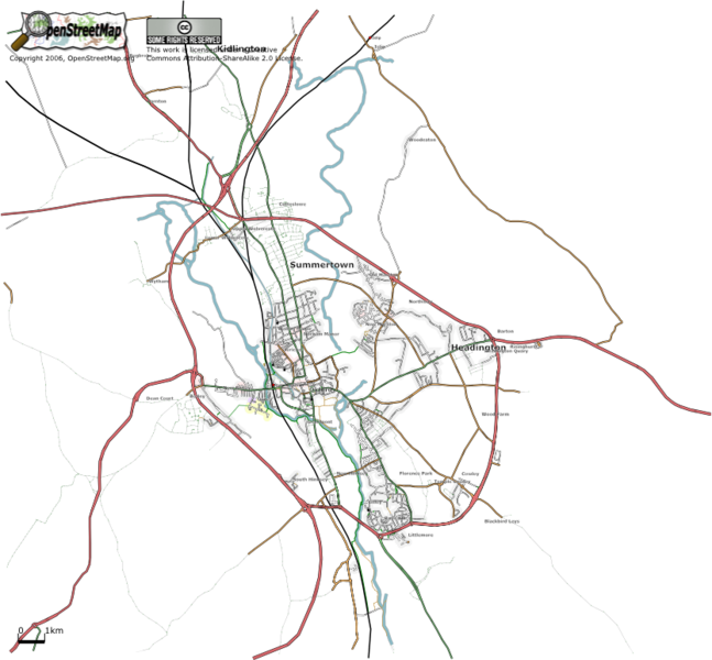
OpenStreetMap SVG Map of Oxford, as of Monday 18th September 2006
File history
Click on a date/time to view the file as it appeared at that time.
| Date/Time | Thumbnail | Dimensions | User | Comment | |
|---|---|---|---|---|---|
| current | 17:43, 18 September 2006 | | 833 × 772 (319 KB) | Gagravarr (talk | contribs) | OpenStreetMap SVG Map of Oxford, as of Monday 18th September 2006 |
You cannot overwrite this file.
File usage
The following page uses this file: