File:Paalkampeerterrein.jpg
Original file (1,280 × 960 pixels, file size: 153 KB, MIME type: image/jpeg)
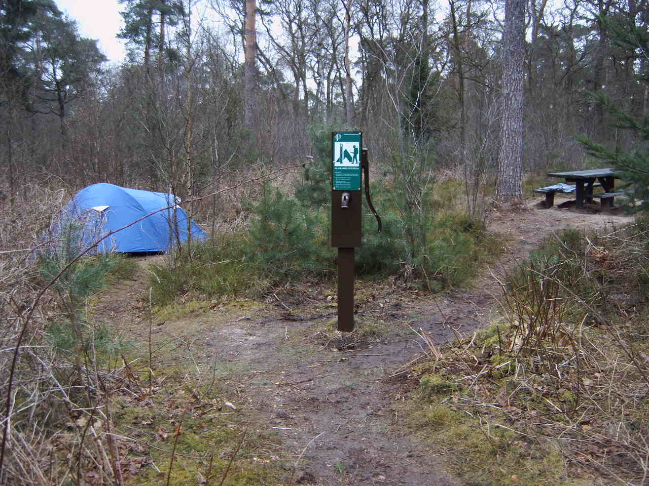
Overzicht van paalkampeerterein Hoogstraat van Staatsbosbeheer, bij Leersum. Gebruikt op pagina Paalkampeerterrein op Nederlandstalige Wikipedia. De picknickbank is een luxe bij dit type kampeerterreinen. Gemaakt door MartinD (Martin van Dalen) op 19 maart 2005 en ter beschikking gesteld onder GFDL. Inmiddels (mei 2009) is dit paalkampeerterrein opgeheven. / Overview of a "paalkampeerterrein" (basic camping site) at De Hoogstraat, near Leersum, the Netherlands, operated by Staatsbosbeheer, the Dutch National Forestry Service. The picknick-table is a luxury for this type of camping sites. Used on page nl:Paalkampeerterrein on Dutch Wikipedia. Picture taken by MartinD (Martin van Dalen) on March 19, 2005, and released under GFDL. This camp site does not exist any more (May 2009).

|
Permission is granted to copy, distribute and/or modify this document under the terms of the GNU Free Documentation License, Version 1.2 or any later version published by the Free Software Foundation; with no Invariant Sections, no Front-Cover Texts, and no Back-Cover Texts. A copy of the license is included in the section entitled GNU Free Documentation License. |
| This file is licensed under the Creative Commons Attribution-Share Alike 3.0 Unported license. | ||
| ||
| This licensing tag was added to this file as part of the GFDL licensing update. |
- You are free:
- to share – to copy, distribute and transmit the work
- to remix – to adapt the work
- Under the following conditions:
- attribution – You must give appropriate credit, provide a link to the license, and indicate if changes were made. You may do so in any reasonable manner, but not in any way that suggests the licensor endorses you or your use.
- share alike – If you remix, transform, or build upon the material, you must distribute your contributions under the same or compatible license as the original.
| Camera location | | View this and other nearby images on: OpenStreetMap |
|---|
File history
Click on a date/time to view the file as it appeared at that time.
| Date/Time | Thumbnail | Dimensions | User | Comment | |
|---|---|---|---|---|---|
| current | 09:12, 27 March 2005 | | 1,280 × 960 (153 KB) | wikimediacommons>MartinD | Overzicht van paalkampeerterein Hoogstraat van Staatsbosbeheer, bij Leersum. Gebruikt op pagina Paalkampeerterrein op Nederlandstalige Wikipedia. Gemaakt door MartinD (Martin van Dalen) op 19 maart 2005 en ter beschikking gesteld onder GFDL. / Overview of |
File usage
The following 3 pages use this file: