File:Perpignancadastre.png
Jump to navigation
Jump to search

Size of this preview: 581 × 600 pixels. Other resolutions: 232 × 240 pixels | 465 × 480 pixels | 713 × 736 pixels.
Original file (713 × 736 pixels, file size: 153 KB, MIME type: image/png)
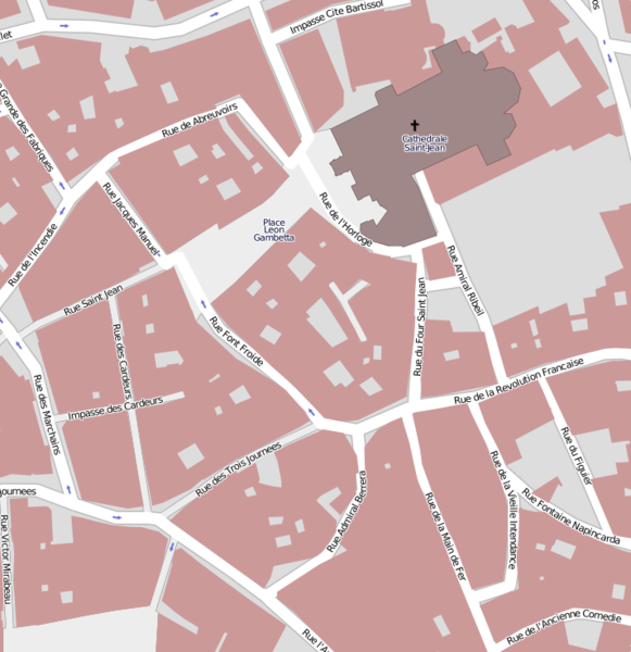
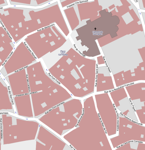
Map of Perpignan, 14-1-2009.
File history
Click on a date/time to view the file as it appeared at that time.
| Date/Time | Thumbnail | Dimensions | User | Comment | |
|---|---|---|---|---|---|
| current | 11:59, 24 January 2009 | | 713 × 736 (153 KB) | Skywave (talk | contribs) | Map of Perpignan, 14-1-2009. |
You cannot overwrite this file.
File usage
The following page uses this file: