File:Philippine triangulation point.jpg
Jump to navigation
Jump to search

No higher resolution available.
Philippine_triangulation_point.jpg (640 × 480 pixels, file size: 133 KB, MIME type: image/jpeg)
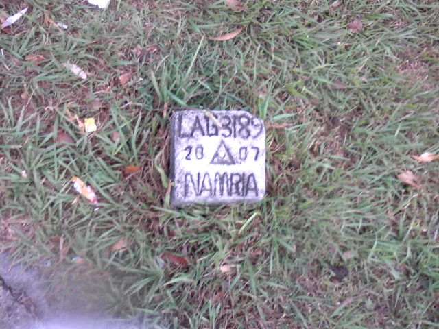
| Description | A geographical control point installed inside the University of the Philippines Los Baños as LAG-3189. |
|---|---|
| Author | Ianlopez1115 |
| Source | self-made |
| Date | 28 April 2011 |
| Permission | See below |
| Other versions | none |
Licensing
- This media file was uploaded by author of the work and its copyright holder.
![]()
Permission is granted to do what the fuck you want to with this document under the terms of the WTF Public License, Version 2.
- This media file was uploaded by author of the work and its copyright holder.
![]()
![]()
This file is made available under the Creative Commons CC0 1.0 Universal Public Domain Dedication.
The person who associated a work with this deed has dedicated the work to the public domain by waiving all of his or her rights to the work worldwide under copyright law, including all related and neighboring rights, to the extent allowed by law. You can copy, modify, distribute and perform the work, even for commercial purposes, all without asking permission.
File history
Click on a date/time to view the file as it appeared at that time.
| Date/Time | Thumbnail | Dimensions | User | Comment | |
|---|---|---|---|---|---|
| current | 13:11, 30 April 2011 | | 640 × 480 (133 KB) | Ianlopez1115 (talk | contribs) | {{Information |Description = A geographical control point installed inside the [http://www.openstreetmap.org/?lat=14.161303&lon=121.242393&zoom=18 University of the Philippines Los Baños]. |Source = self-made |Date = 28 Apri |
You cannot overwrite this file.
File usage
There are no pages that use this file.