File:Planche Flyer cartopartie A4.png
Jump to navigation
Jump to search

Size of this preview: 424 × 600 pixels. Other resolutions: 170 × 240 pixels | 339 × 480 pixels | 543 × 768 pixels | 1,240 × 1,754 pixels.
Original file (1,240 × 1,754 pixels, file size: 1.18 MB, MIME type: image/png)
Summary
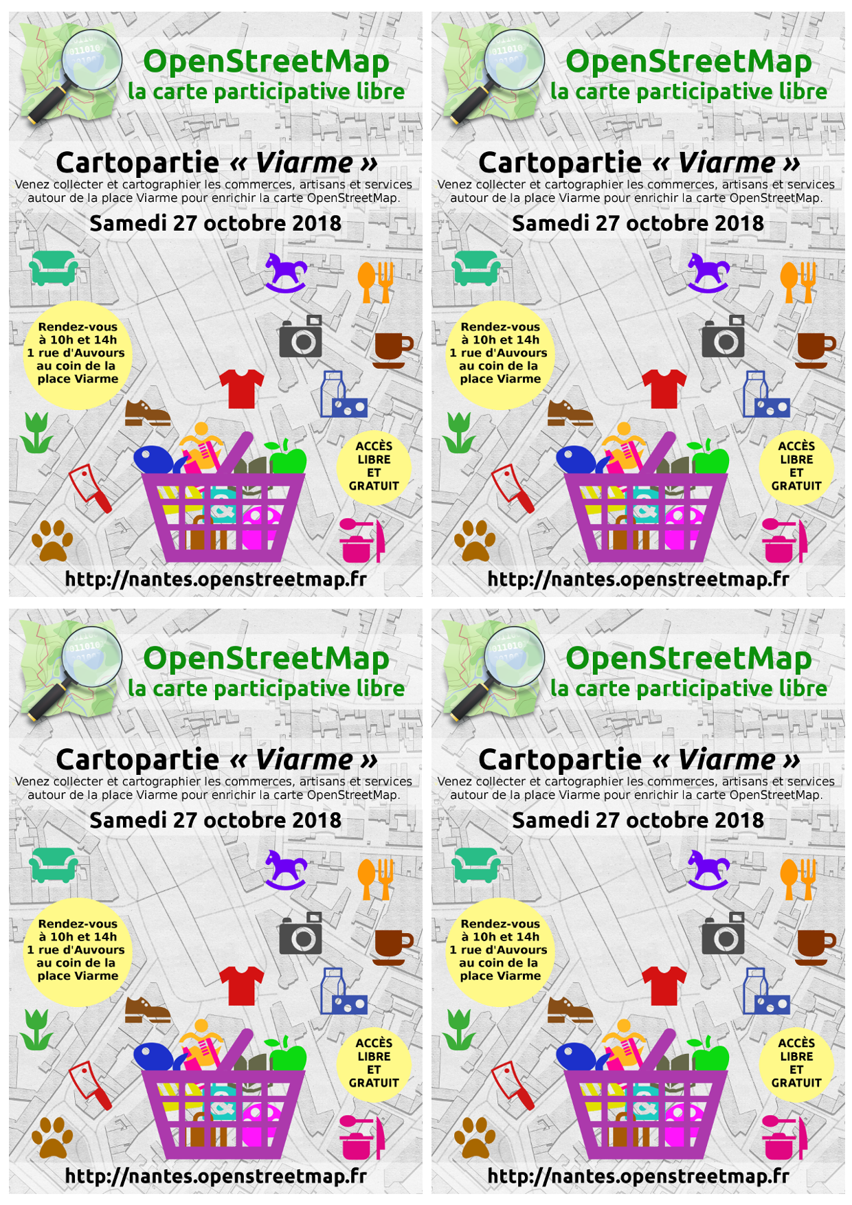
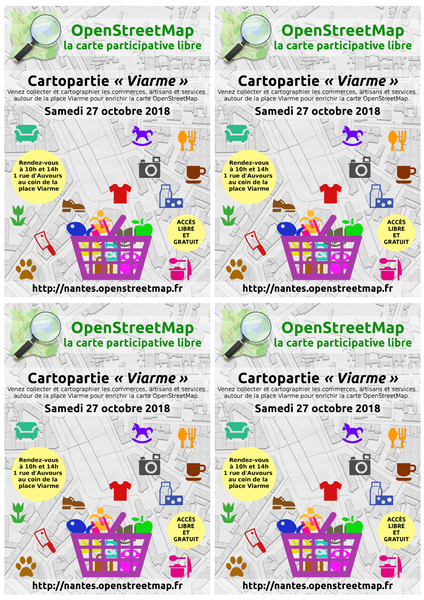
Planche A4 de 4 flyers A6 pour la cartopartie des commerces du quartier Viarme de Nantes le 27 octobre 2018
Licensing
![]()
![]()
![]()
This work is licensed under the Creative Commons Attribution-ShareAlike 4.0 License.
Attribution not specified as a parameter! THIS LICENSE ALWAYS REQUIRES ATTRIBUTION! Use {{CC-BY-SA-4.0|Attribution, typically name of author}} See Template:CC-BY-SA-4.0 for full description this template should be used.
Attribution not specified as a parameter! THIS LICENSE ALWAYS REQUIRES ATTRIBUTION! Use {{CC-BY-SA-4.0|Attribution, typically name of author}} See Template:CC-BY-SA-4.0 for full description this template should be used.
File history
Click on a date/time to view the file as it appeared at that time.
| Date/Time | Thumbnail | Dimensions | User | Comment | |
|---|---|---|---|---|---|
| current | 10:25, 20 October 2018 | | 1,240 × 1,754 (1.18 MB) | Naomap (talk | contribs) | Planche A4 de 4 flyers A6 pour la cartopartie des commerces du quartier Viarme de Nantes le 27 octobre 2018 |
You cannot overwrite this file.
File usage
There are no pages that use this file.