File:Port Erin, Isle of Man.png
Jump to navigation
Jump to search

No higher resolution available.
Port_Erin,_Isle_of_Man.png (786 × 505 pixels, file size: 101 KB, MIME type: image/png)
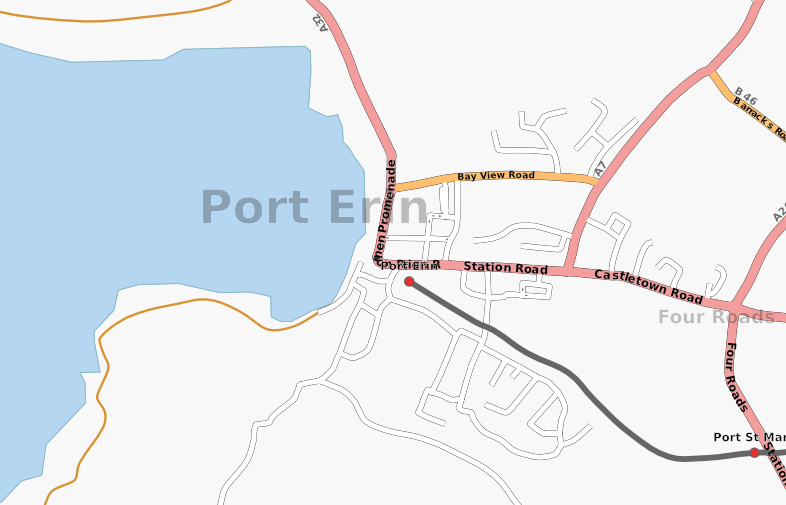
Latest snapshot of Port Erin, Isle of Man from InformationFreeway
Licensing
![]()
Contains map data © OpenStreetMap contributors, made available under the terms of the Creative Commons Attribution-ShareAlike 2.0 (CC-BY-SA-2.0).
File history
Click on a date/time to view the file as it appeared at that time.
| Date/Time | Thumbnail | Dimensions | User | Comment | |
|---|---|---|---|---|---|
| current | 15:48, 6 May 2007 | | 786 × 505 (101 KB) | Dankarran (talk | contribs) | Latest snapshot of Port Erin, Isle of Man from InformationFreeway |
You cannot overwrite this file.
File usage
The following 2 pages use this file: