File:Ports of Auckland Fence Path.jpg
Jump to navigation
Jump to search


Size of this preview: 800 × 600 pixels. Other resolutions: 320 × 240 pixels | 640 × 480 pixels | 1,024 × 768 pixels | 1,280 × 960 pixels | 1,600 × 1,200 pixels.
Original file (1,600 × 1,200 pixels, file size: 484 KB, MIME type: image/jpeg)
This file and its description are from Wikimedia Commons.
Summary
| Description |
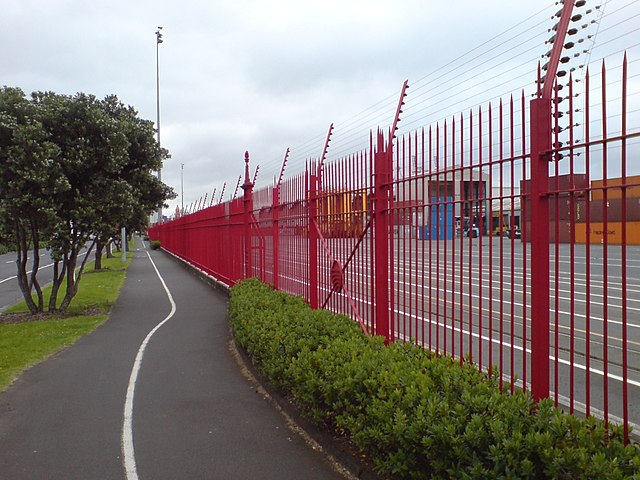
English: The red fence along the southern border (Quay Street) of the Ports of Auckland area in Auckland City, New Zealand. Note the old red Auckland Harbour Board fence with the later addition of the electric fence above (customs zone / container terminal). |
| Date | |
| Source | Self-photographed |
| Author | Ingolfson |
Licensing
| I, the copyright holder of this work, release this work into the public domain. This applies worldwide. In some countries this may not be legally possible; if so: I grant anyone the right to use this work for any purpose, without any conditions, unless such conditions are required by law. |
File history
Click on a date/time to view the file as it appeared at that time.
| Date/Time | Thumbnail | Dimensions | User | Comment | |
|---|---|---|---|---|---|
| current | 10:39, 4 November 2007 | | 1,600 × 1,200 (484 KB) | wikimediacommons>Ingolfson | == Summary == {{Information |Description=The red fence along the southern border (Quay Street) of the Ports of Auckland area in Auckland City, New Zealand. |Source=Own picture. |Date=200 |
File usage
The following 2 pages use this file: