File:Princeton-20080703.png
Jump to navigation
Jump to search

Size of this preview: 750 × 600 pixels. Other resolutions: 300 × 240 pixels | 600 × 480 pixels | 960 × 768 pixels | 1,280 × 1,024 pixels.
Original file (1,280 × 1,024 pixels, file size: 294 KB, MIME type: image/png)
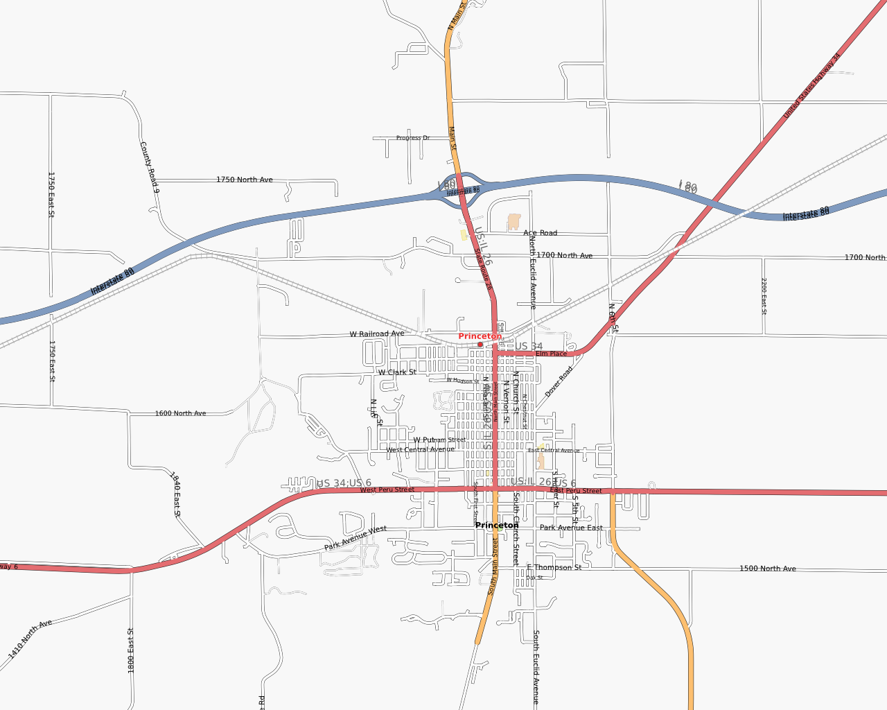
Map of Princeton, IL, as of 3 July 2008. Screenshot taken from OpenStreetMap.
![]()
Contains map data © OpenStreetMap contributors, made available under the terms of the Creative Commons Attribution-ShareAlike 2.0 (CC-BY-SA-2.0).
File history
Click on a date/time to view the file as it appeared at that time.
| Date/Time | Thumbnail | Dimensions | User | Comment | |
|---|---|---|---|---|---|
| current | 05:01, 3 July 2008 | | 1,280 × 1,024 (294 KB) | Marnen (talk | contribs) | Map of Princeton, IL, as of 3 July 2008. |
You cannot overwrite this file.
File usage
The following page uses this file: