File:Prison de Saint-Gilles (Brussels) - 3.JPG
Jump to navigation
Jump to search


Size of this preview: 800 × 524 pixels. Other resolutions: 320 × 210 pixels | 640 × 419 pixels | 1,024 × 671 pixels | 1,280 × 839 pixels | 2,560 × 1,677 pixels | 5,181 × 3,394 pixels.
Original file (5,181 × 3,394 pixels, file size: 12.15 MB, MIME type: image/jpeg)
This file and its description are from Wikimedia Commons.
Summary
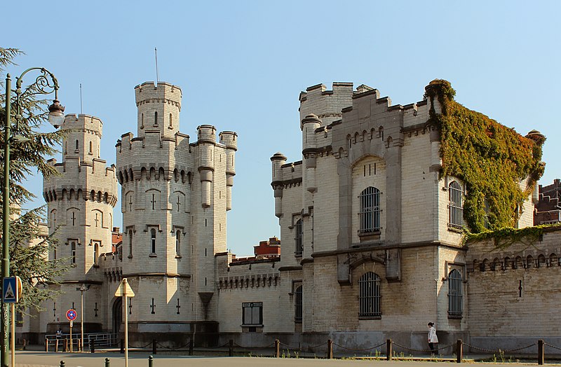
| Description |
Français : Vue de la façade avant de la prison de Saint-Gilles, Bruxelles, Belgique. |
||
| Date | |||
| Source | Own work | ||
| Author | M0tty | ||
| Permission (Reusing this file) |
|

| Object location | | View this and other nearby images on: OpenStreetMap |
|---|
_-_3.JPG¶ms=050.822342_N_0004.346875_E_globe:Earth_class:object_type:object_region:BE_&language=en)
Licensing
I, the copyright holder of this work, hereby publish it under the following license:
This file is licensed under the Creative Commons Attribution-Share Alike 3.0 Unported license.
- You are free:
- to share – to copy, distribute and transmit the work
- to remix – to adapt the work
- Under the following conditions:
- attribution – You must give appropriate credit, provide a link to the license, and indicate if changes were made. You may do so in any reasonable manner, but not in any way that suggests the licensor endorses you or your use.
- share alike – If you remix, transform, or build upon the material, you must distribute your contributions under the same or compatible license as the original.
File history
Click on a date/time to view the file as it appeared at that time.
| Date/Time | Thumbnail | Dimensions | User | Comment | |
|---|---|---|---|---|---|
| current | 21:30, 28 January 2013 | | 5,181 × 3,394 (12.15 MB) | wikimediacommons>Slick-o-bot | Bot: convert to a non-interlaced jpeg (see bug #17645) |
File usage
There are no pages that use this file.
_-_3.JPG)