File:Project Area Map Final.png
Jump to navigation
Jump to search

No higher resolution available.
Project_Area_Map_Final.png (624 × 471 pixels, file size: 322 KB, MIME type: image/png)
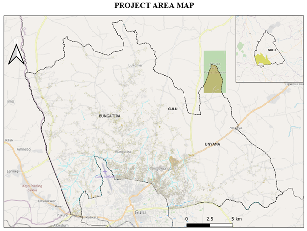
This is a map of the proposed project area where the field team will go and collect data
File history
Click on a date/time to view the file as it appeared at that time.
| Date/Time | Thumbnail | Dimensions | User | Comment | |
|---|---|---|---|---|---|
| current | 20:25, 23 March 2022 | | 624 × 471 (322 KB) | Wava Stella (talk | contribs) |
You cannot overwrite this file.
File usage
The following page uses this file: