File:Prune cadastre poi.png
Jump to navigation
Jump to search

No higher resolution available.
Prune_cadastre_poi.png (693 × 450 pixels, file size: 48 KB, MIME type: image/png)
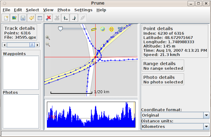
visualiseur de GPX prune utilisé pour obtenir les coordonnées d'un POI lors du géoréférencement d'un plan image du cadastre.
Licensing
![]()
This file is a JOSM screenshot, without imagery in a background.
![]()
"JOSM" (Java OpenStreetMap Editor – josm.openstreetmap.de) is free software released under the terms of the GNU General Public License as published by the Free Software Foundation; either version 2 of the license, or any later version.
File history
Click on a date/time to view the file as it appeared at that time.
| Date/Time | Thumbnail | Dimensions | User | Comment | |
|---|---|---|---|---|---|
| current | 19:19, 12 November 2009 | | 693 × 450 (48 KB) | Kevredon (talk | contribs) | visualiseur de GPX prune utilisé pour obtenir les coordonnées d'un POI lors du géoréférencement d'un plan image du cadastre. |
You cannot overwrite this file.
File usage
The following 2 pages use this file: