File:Radkarte Oregon Screenshot Walberla.png
Jump to navigation
Jump to search

No higher resolution available.
Radkarte_Oregon_Screenshot_Walberla.png (240 × 400 pixels, file size: 55 KB, MIME type: image/png)
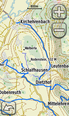
Screenshot of the display of an Oregon GPS unit showing the Radkarte near the Walberla in Bavaria, Germany.
File history
Click on a date/time to view the file as it appeared at that time.
| Date/Time | Thumbnail | Dimensions | User | Comment | |
|---|---|---|---|---|---|
| current | 16:09, 23 June 2009 | | 240 × 400 (55 KB) | Radfahrer (talk | contribs) | Screenshot of the display of an Oregon GPS unit showing the Radkarte near the Walberla in Bavaria, Germany. |
You cannot overwrite this file.
File usage
The following page uses this file: