File:Residential somalia mapillary.jpg
Jump to navigation
Jump to search

Size of this preview: 800 × 450 pixels. Other resolutions: 320 × 180 pixels | 640 × 360 pixels | 1,024 × 576 pixels | 1,280 × 720 pixels | 2,048 × 1,152 pixels.
Original file (2,048 × 1,152 pixels, file size: 328 KB, MIME type: image/jpeg)
Summary
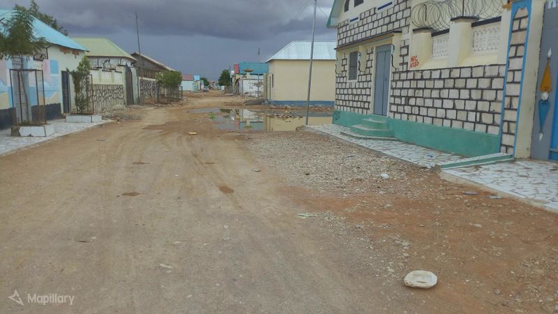
| Description | View of a residential road in Garoowe, Somalia. Must be tag with "highway=residential". |
|---|---|
| Author | abdullahi on Mapillary |
| Source | Mapillary |
| Date | May 14, 2019 |
Licensing
![]()
This file comes from Mapillary, a service for sharing geotagged photos. All photos are under a CC BY-SA 4.0 license meaning the individual photographer must be credited for each image.
This template does not indicate the copyright status of the attached work. A normal copyright template is still required, typically it will be {{CC-BY-SA-4.0|HERE PUT NAME OF IMAGE AUTHOR}}.
This template does not indicate the copyright status of the attached work. A normal copyright template is still required, typically it will be {{CC-BY-SA-4.0|HERE PUT NAME OF IMAGE AUTHOR}}.
![]()
![]()
![]()
This work is licensed under the Creative Commons Attribution-ShareAlike 4.0 License.
Attribution: abdullahi on Mapillary
Attribution: abdullahi on Mapillary
File history
Click on a date/time to view the file as it appeared at that time.
| Date/Time | Thumbnail | Dimensions | User | Comment | |
|---|---|---|---|---|---|
| current | 12:51, 8 April 2020 | | 2,048 × 1,152 (328 KB) | Michael Montani (talk | contribs) | highway=residential in Garoowe, Somalia. Mapillary photo by abdullahi https://www.mapillary.com/app/?focus=photo&lat=8.400540685714285&lng=48.485355760714285&z=17&pKey=A1HwES8wF4VmRDNuNrMhYA&x=0.4983986385023931&y=0.4576422474886933&zoom=0 |
You cannot overwrite this file.
File usage
The following page uses this file: