File:RingCuracao.jpg
Jump to navigation
Jump to search

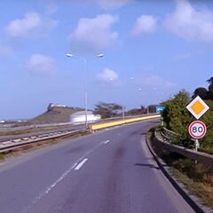
Size of this preview: 600 × 600 pixels. Other resolutions: 240 × 240 pixels | 480 × 480 pixels | 819 × 819 pixels.
Original file (819 × 819 pixels, file size: 377 KB, MIME type: image/jpeg)
Summary
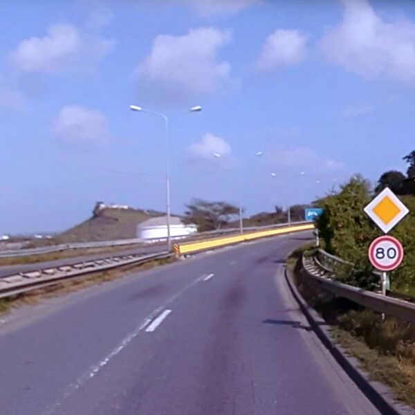
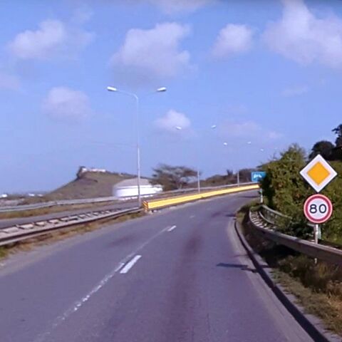
Ring road of Curaçao. Example of situation where Dutch speed limit signs are used with a value higher than the legal default outside of city limits.
Licensing
![]()
![]()
![]()
This work is licensed under the Creative Commons Attribution-ShareAlike 4.0 License.
Attribution not specified as a parameter! THIS LICENSE ALWAYS REQUIRES ATTRIBUTION! Use {{CC-BY-SA-4.0|Attribution, typically name of author}} See Template:CC-BY-SA-4.0 for full description this template should be used.
Attribution not specified as a parameter! THIS LICENSE ALWAYS REQUIRES ATTRIBUTION! Use {{CC-BY-SA-4.0|Attribution, typically name of author}} See Template:CC-BY-SA-4.0 for full description this template should be used.
Edited photo. Original photo published on Mapillary: user ost360vr_Joscelin, 11 Feb 2020, https://www.mapillary.com/app/?lat=12.114523924992&lng=-68.937608673168&z=17&pKey=395064278314633&x=0.24081922413171675&y=0.5009882751804495&zoom=1.1938171883755324&focus=photo
File history
Click on a date/time to view the file as it appeared at that time.
| Date/Time | Thumbnail | Dimensions | User | Comment | |
|---|---|---|---|---|---|
| current | 14:53, 21 July 2021 | | 819 × 819 (377 KB) | JeroenvanderGun (talk | contribs) | Ring road of Curaçao. Example of situation where speed limit signs are used with a value higher than the legal default. Edited photo. Original photo published on Mapillary: user ost360vr_Joscelin, 11 Feb 2020, https://www.mapillary.com/app/?lat=12.114523924992&lng=-68.937608673168&z=17&pKey=395064278314633&x=0.24081922413171675&y=0.5009882751804495&zoom=1.1938171883755324&focus=photo |
You cannot overwrite this file.
File usage
The following 3 pages use this file: